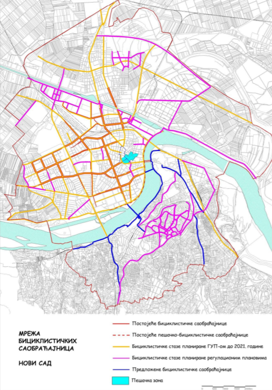
The Site
Source: Visit Bratislava (Matej Kovac)
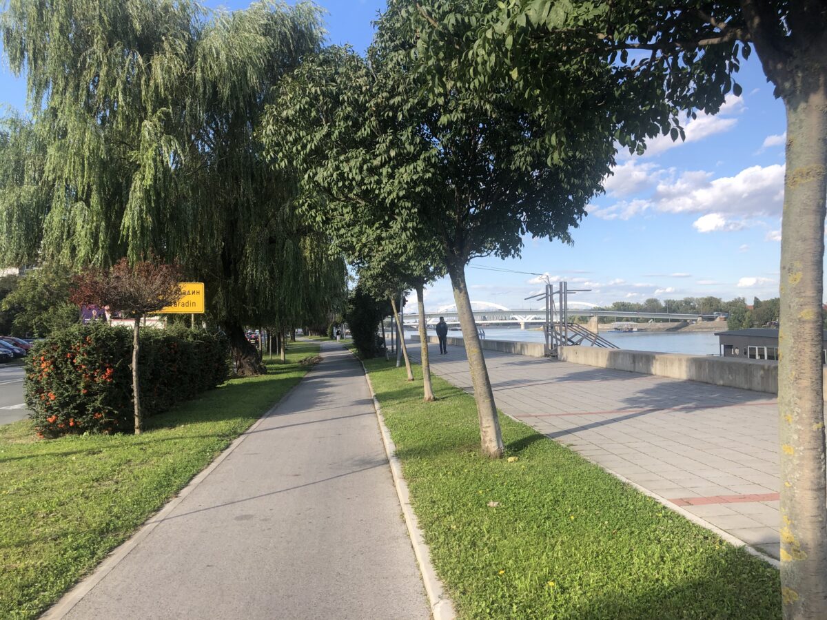
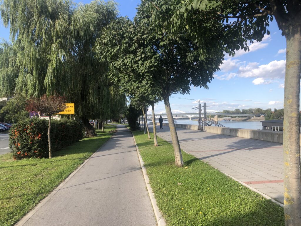
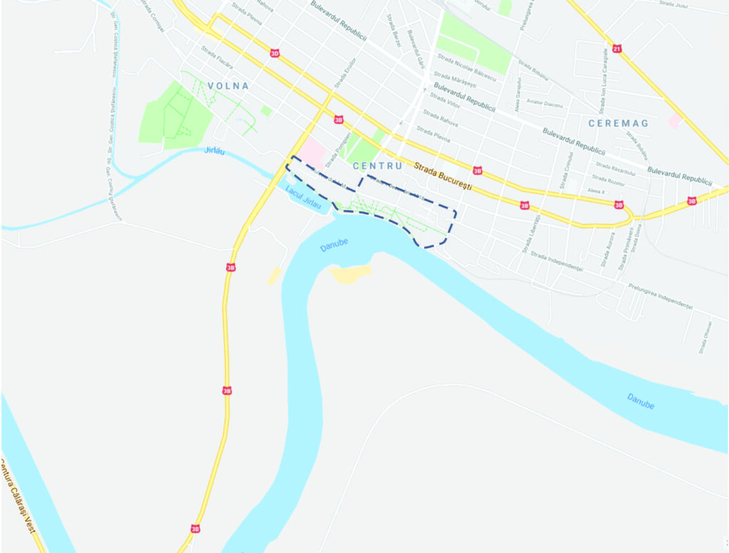
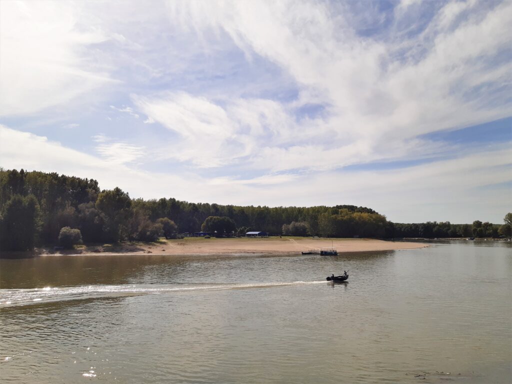
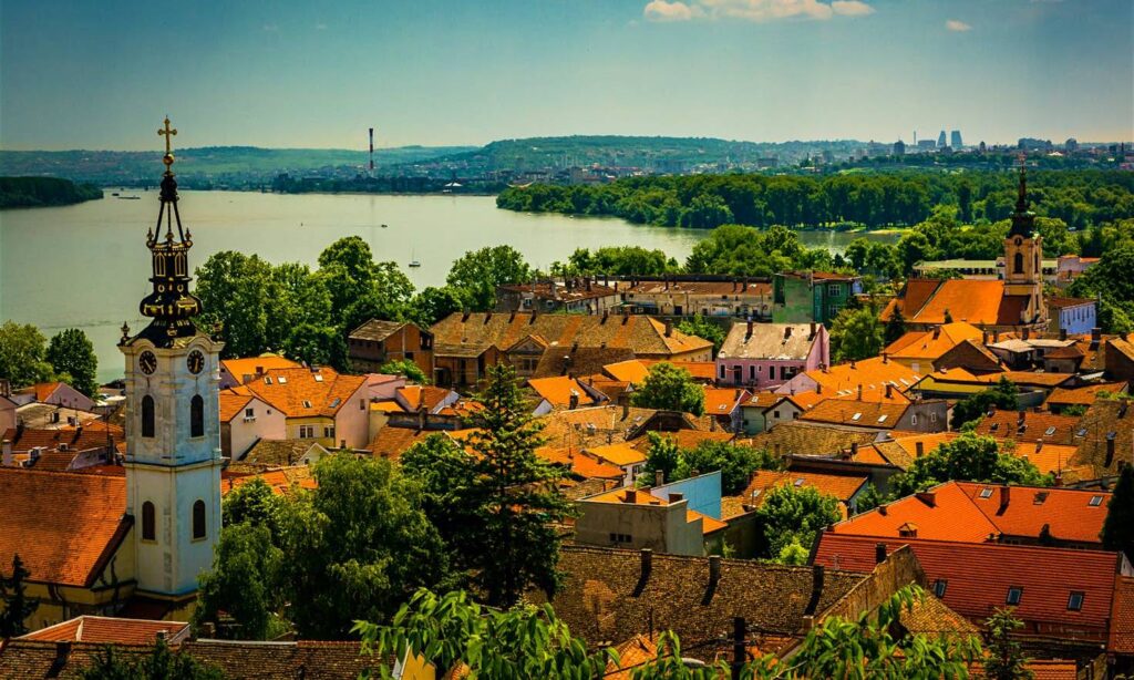
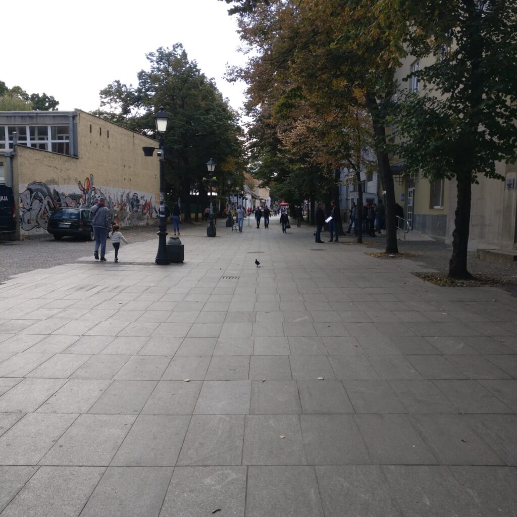
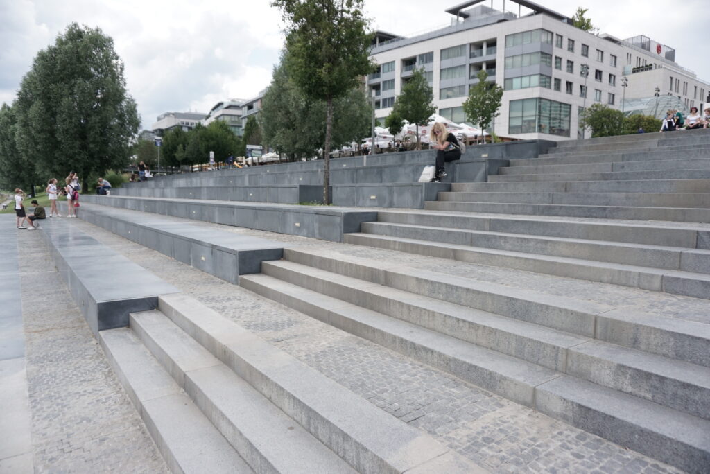
Site that we choose for our research area of bikeability is situated near the centre of the capital city of Slovakia, Bratislava. Research has focused on both waterfronts of the Danube river. The waterfront on the left side of the river is in direct contact with the historic city center. The area between the castle and the old town, formerly known as the Jewish quarter, was affected by extensive demolition due to the construction of the bridge SNP in the late 1960’s. Despite significant damages and split caused by the construction of the bridge, the bridge became one of the key architectural landmarks of Bratislava and also a national architectural heritage. This area of the city can be described as neglected, yet developing. Pedestrian promenade along the river is short, not well organised and ends on the private parking lot. On the opposite site of the parking lot on the same waterfront of Danube can be found developing downtown with highrise buildings, administrative districts, cultural institutions and shopping facilities. This area is characteristic of the speede development.
Source: Oto Novacek
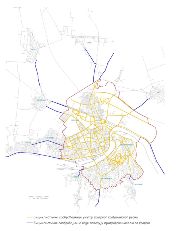
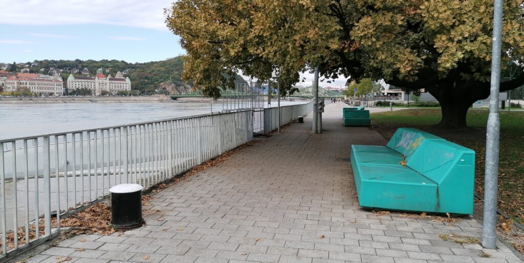
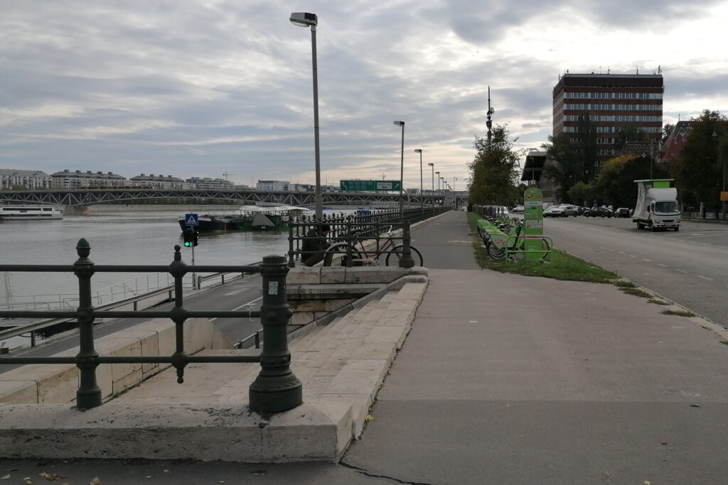
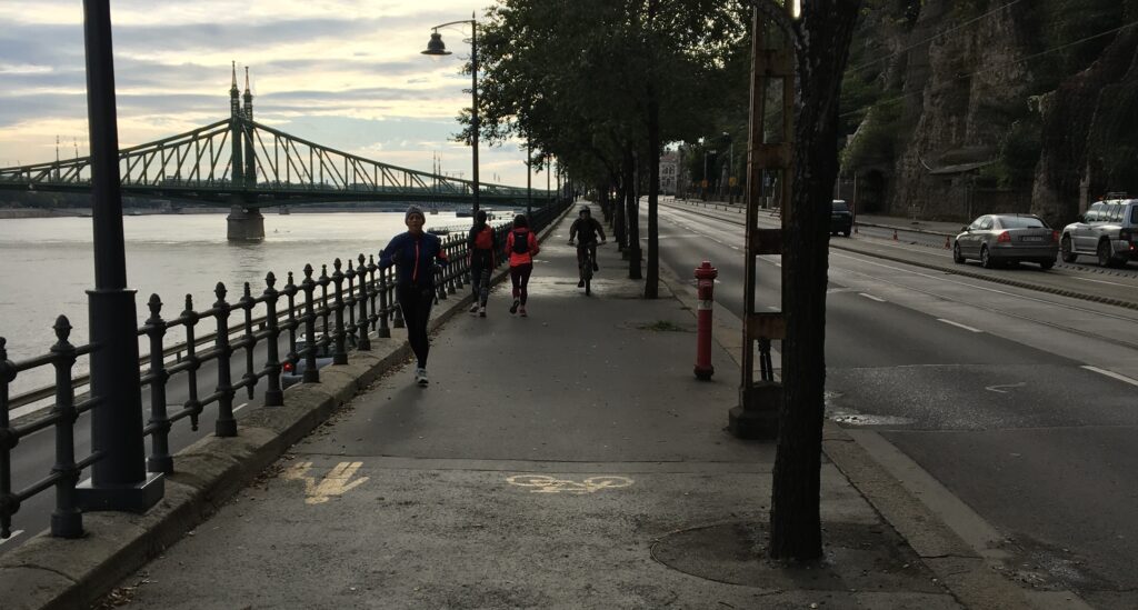
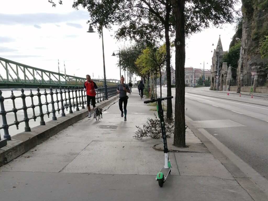
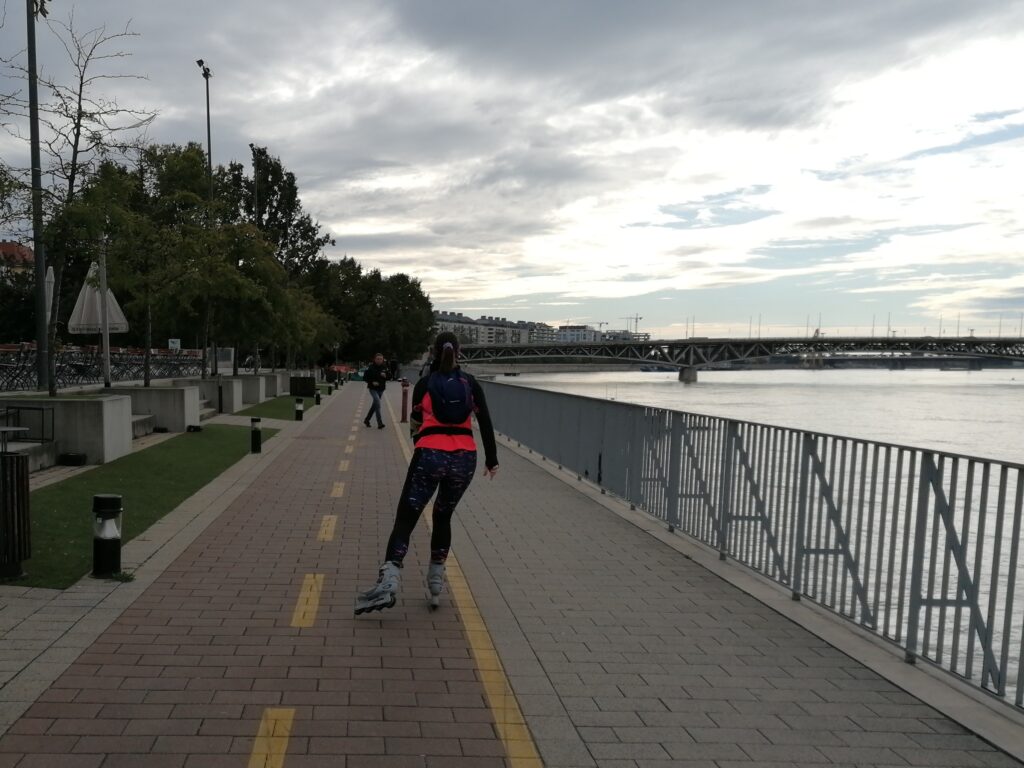
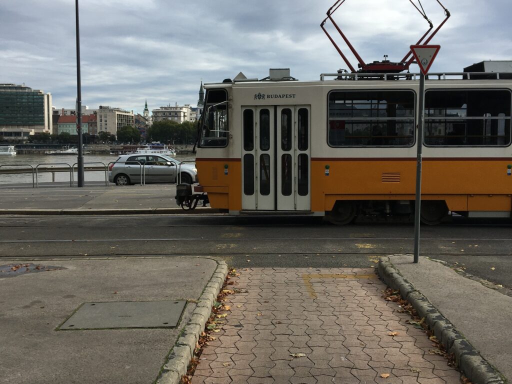
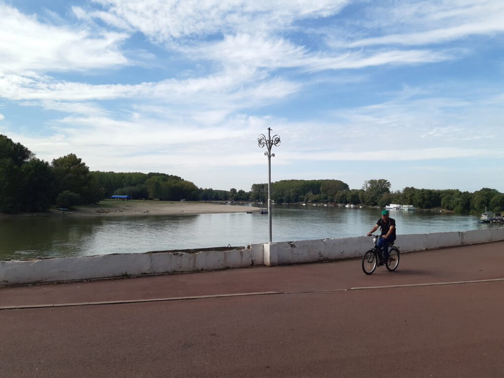
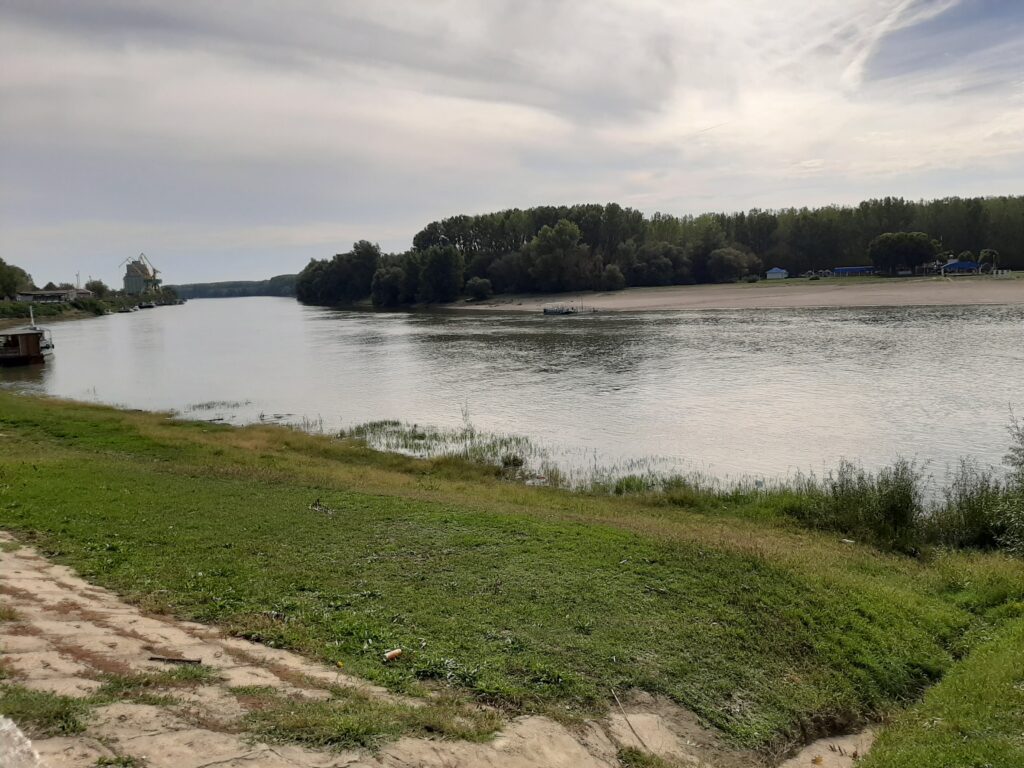
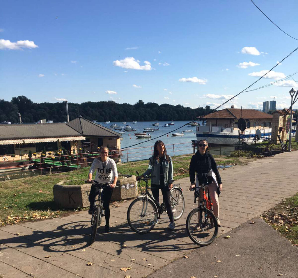
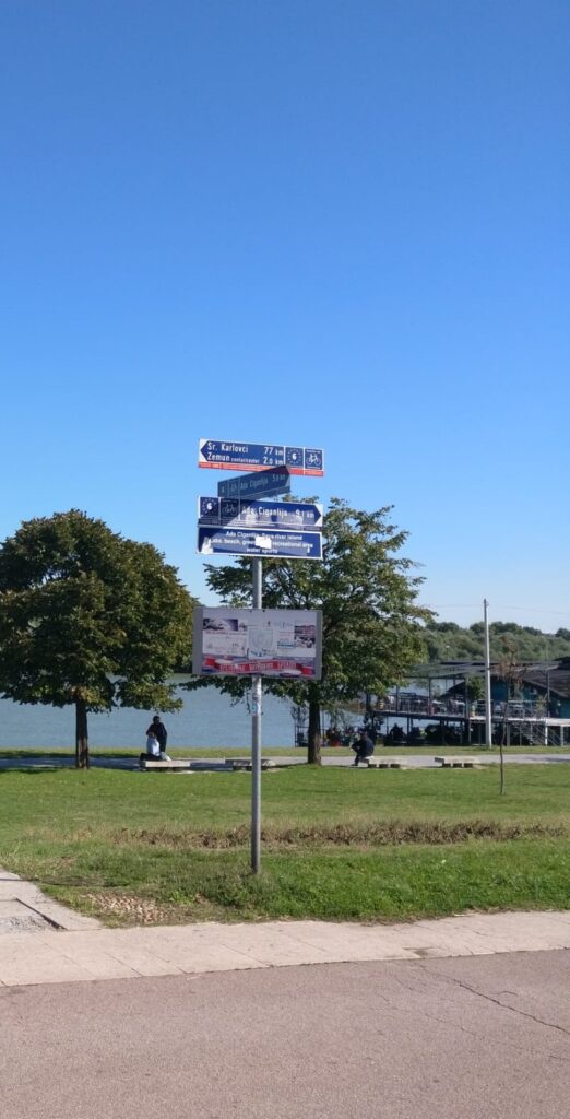
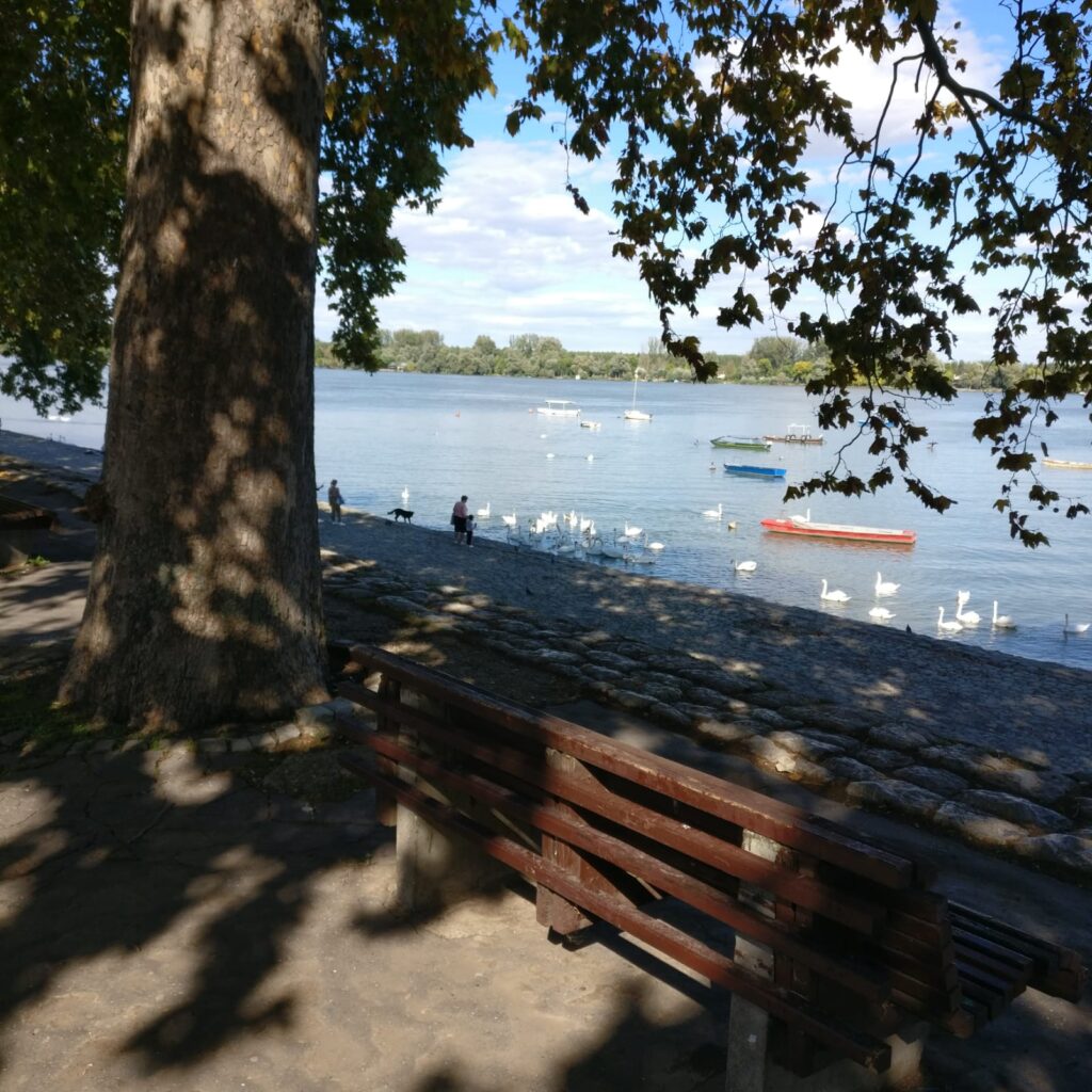
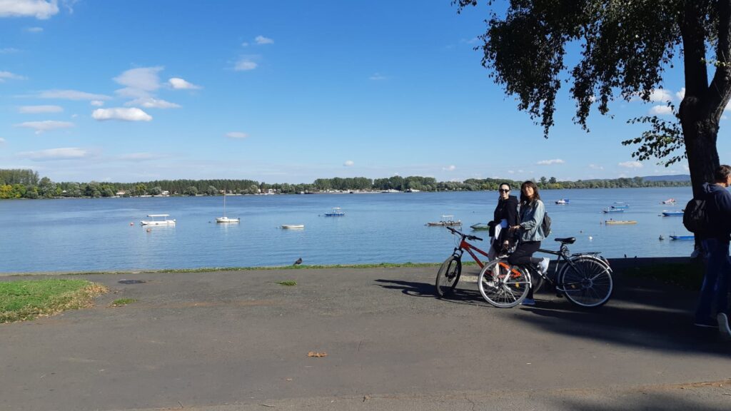
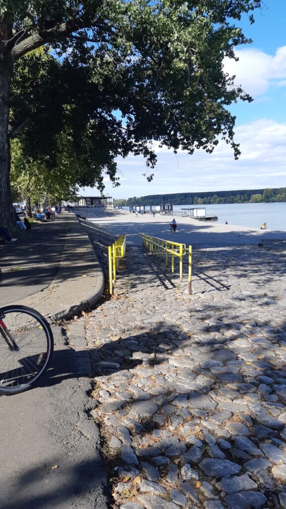
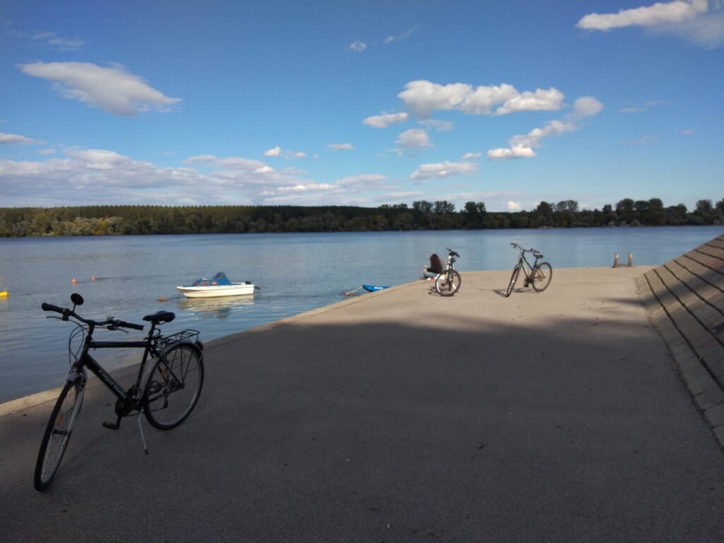
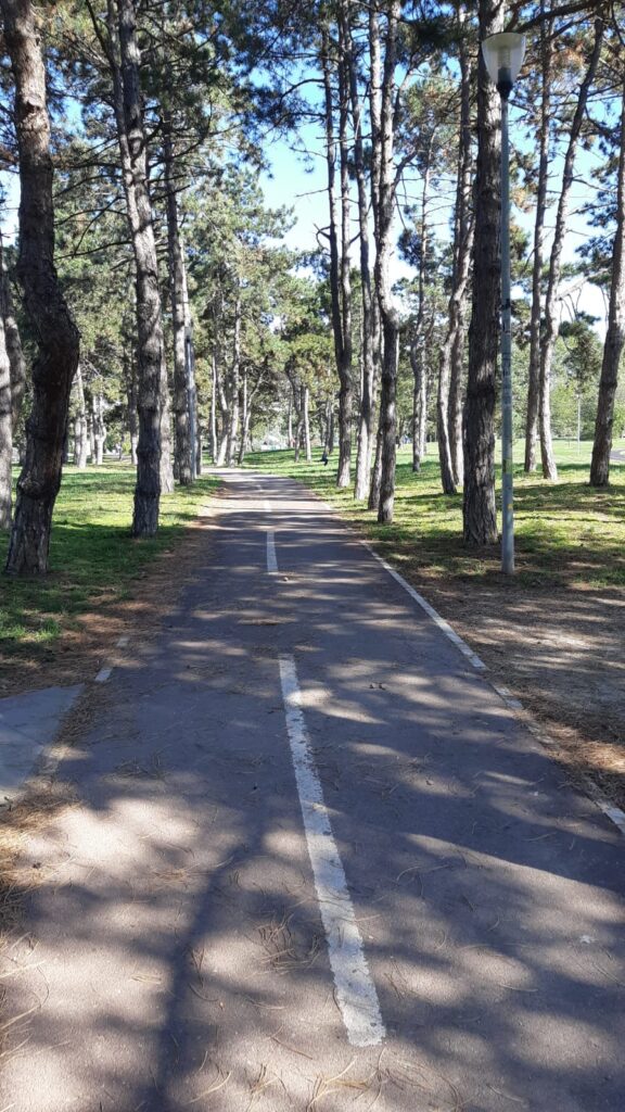
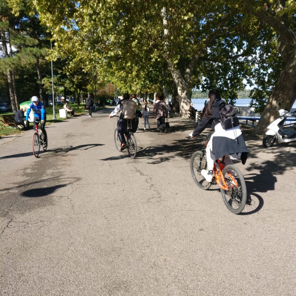
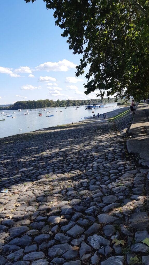
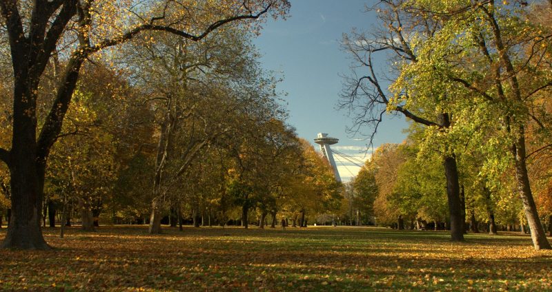
On the right bank can be found the oldest public park in central Europe, founded in the 18th century. This area has strong natural character with embankment, summer beach, restaurants or botels. Citizens use this locality for recreation and sports, it is part of oficial cyclepath Eurovelo 6. When you cross the park in direction to the south, you can find here the biggest residential borough, built of prefabricated concrete panels during communist era, which is a home to more than 100 000 people.
Source: Visit Bratislava
Research agenda
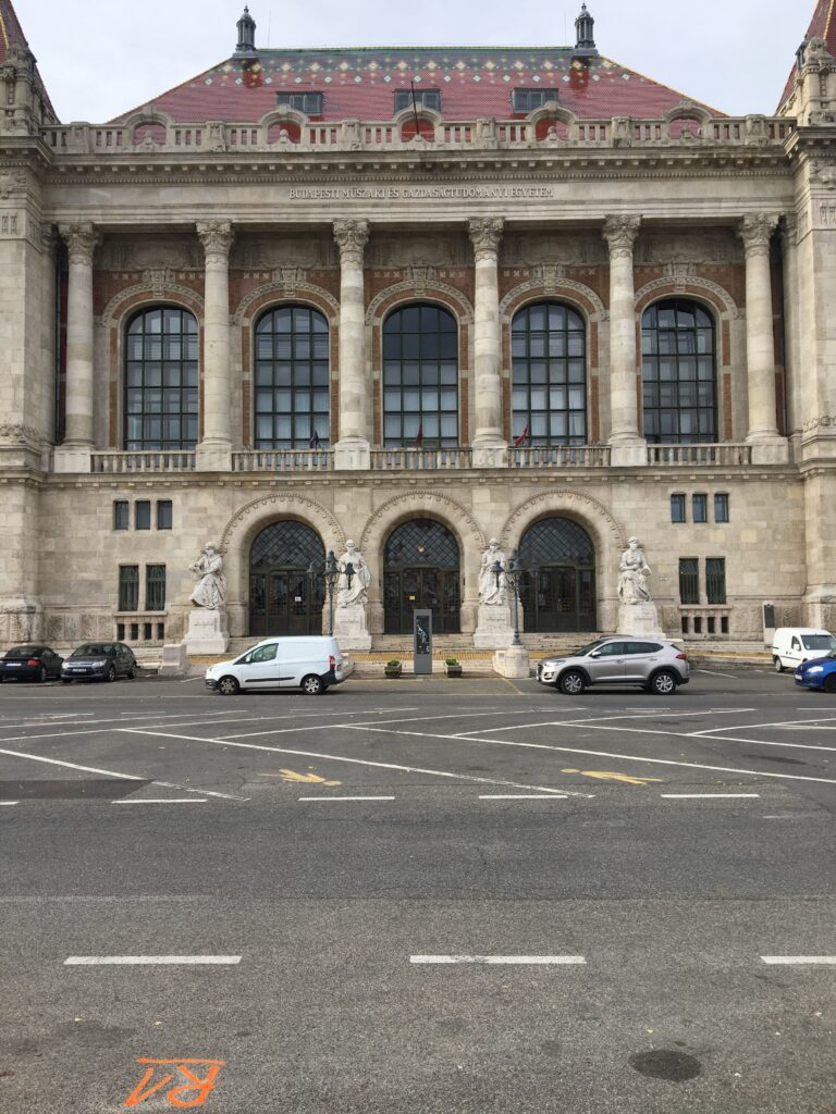
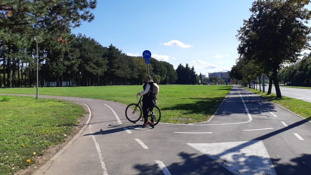
Our choice of bike paths consist of touristically attractive small sightseeing circle across the two bridges in the old town area with local heritage, promenade at new-built downtown area and path from frequent public transport node close to the SNP bridge direction to Faculty of Architecture and Design. These routes are regularly used by cyclists and pedestrians, whether for purposeful movement or for recreation. Research focuses particularly on physical obstacles,hindrances, interruptions, and (non)existence of cycle paths.
Results
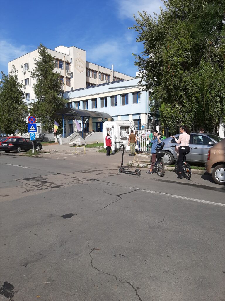
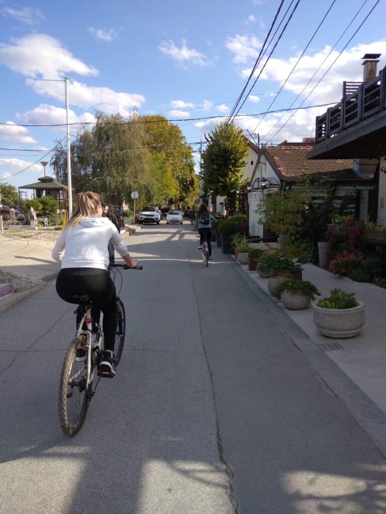
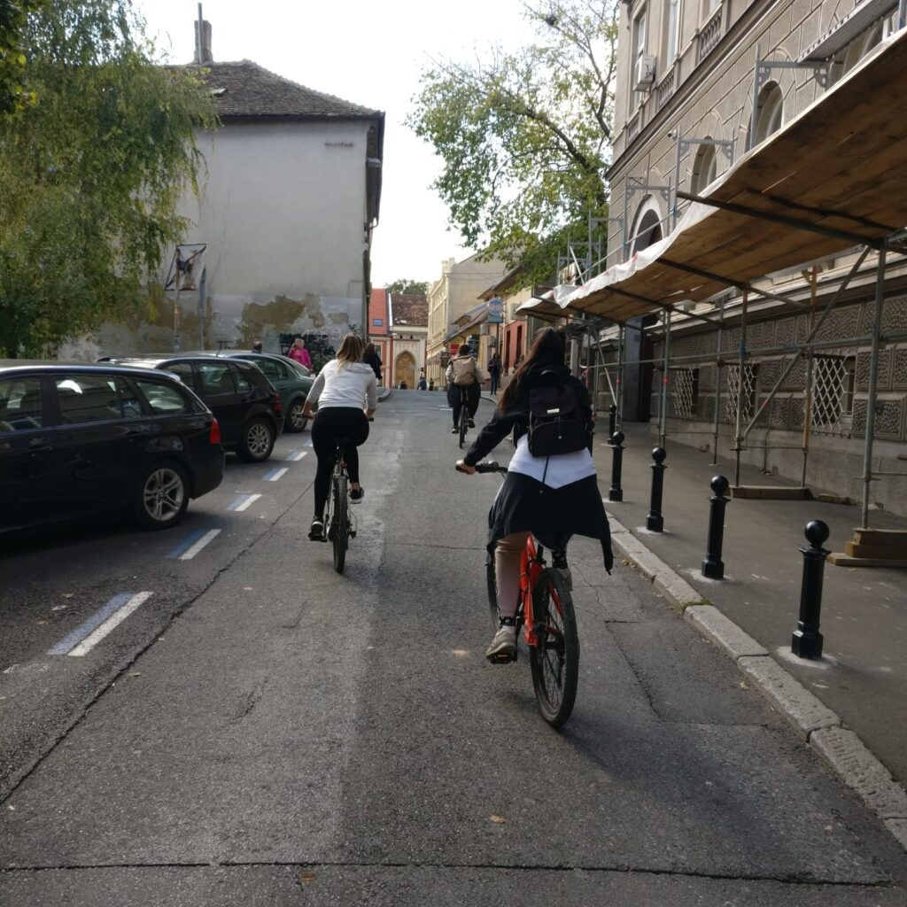
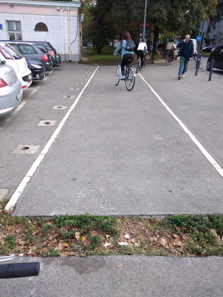
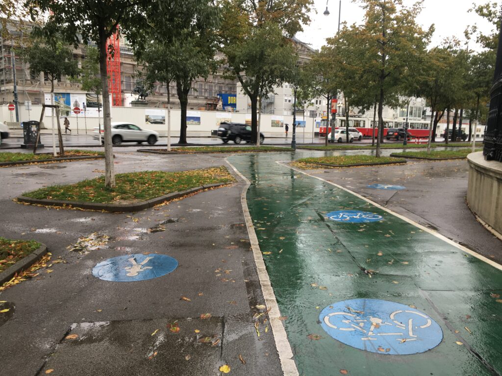
Track 1
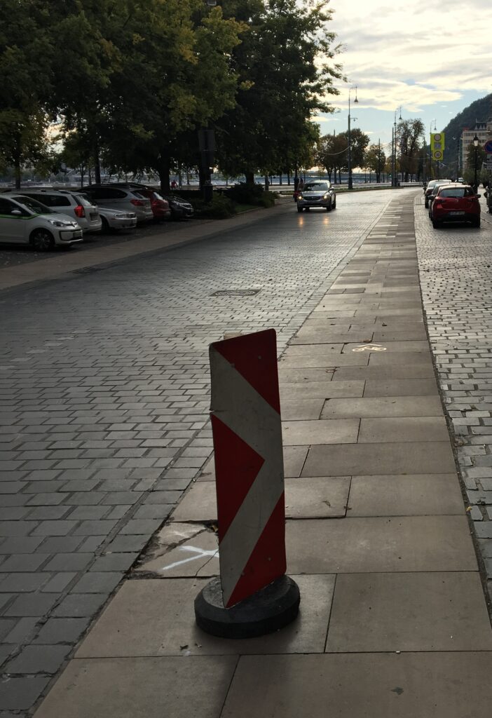
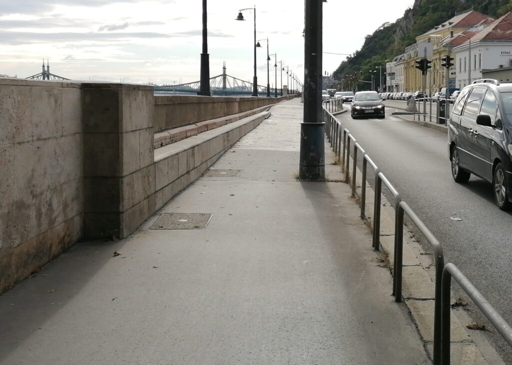
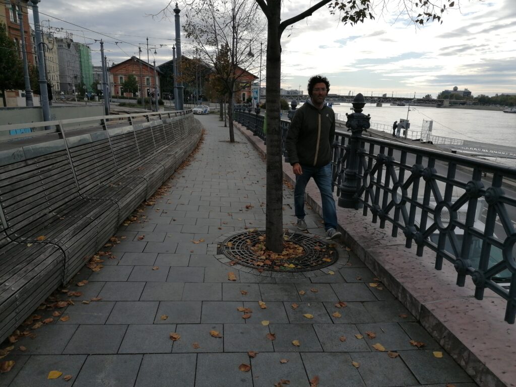
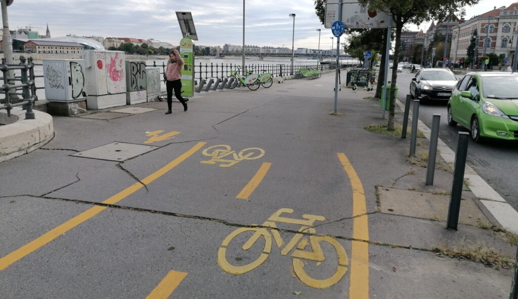
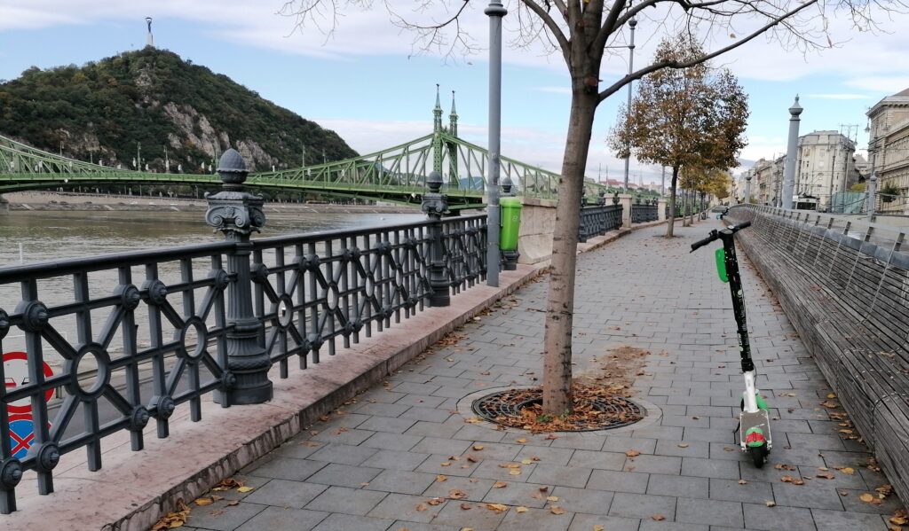
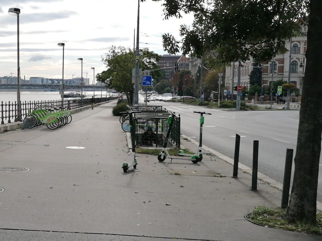
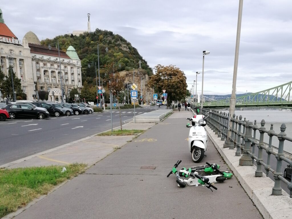
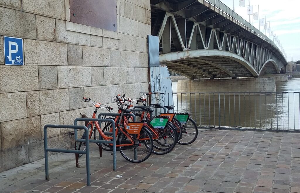
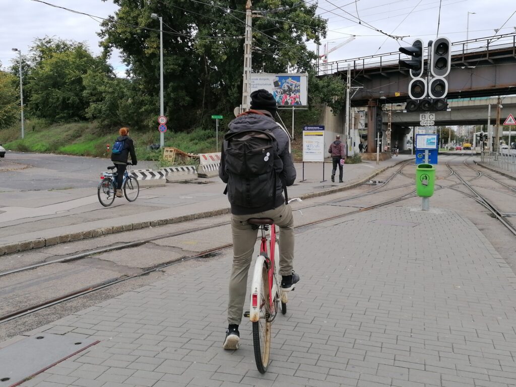
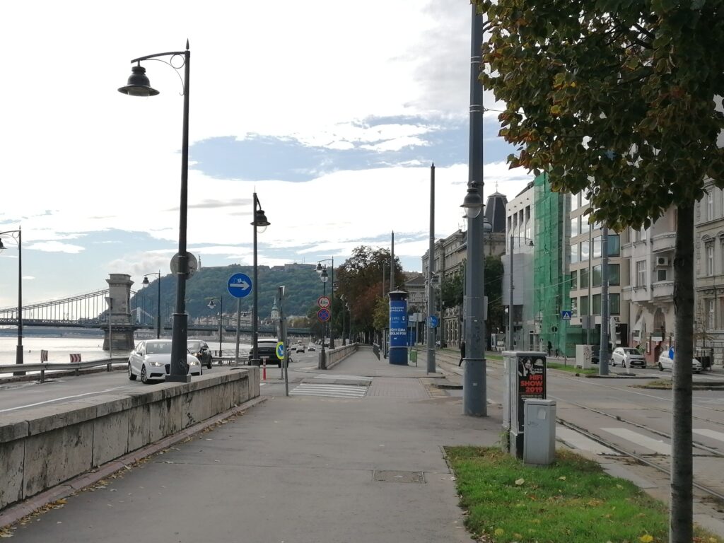
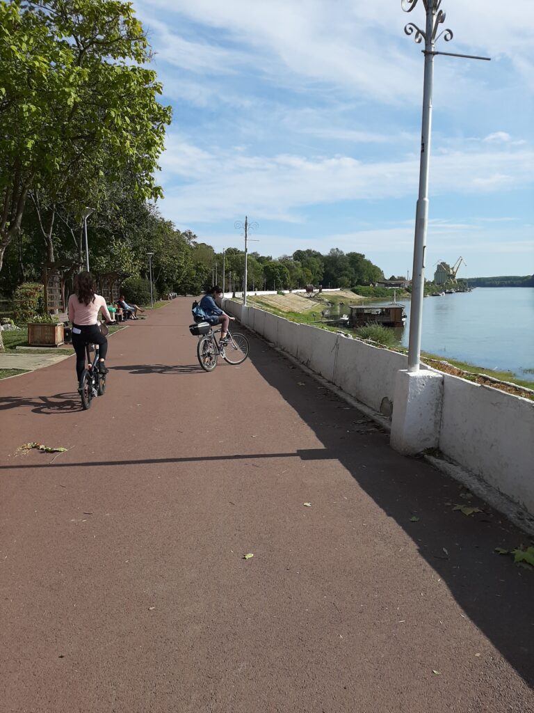
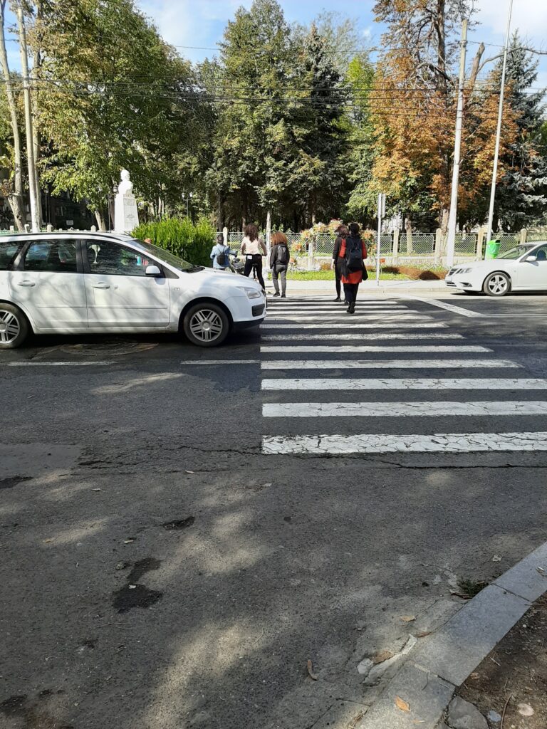
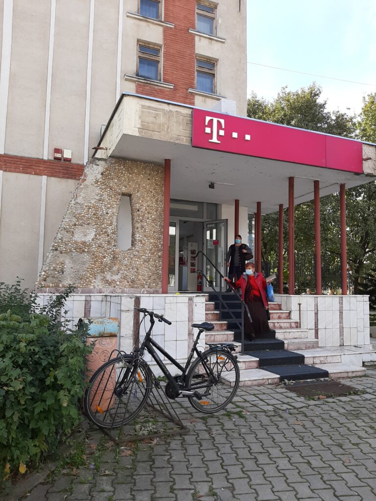
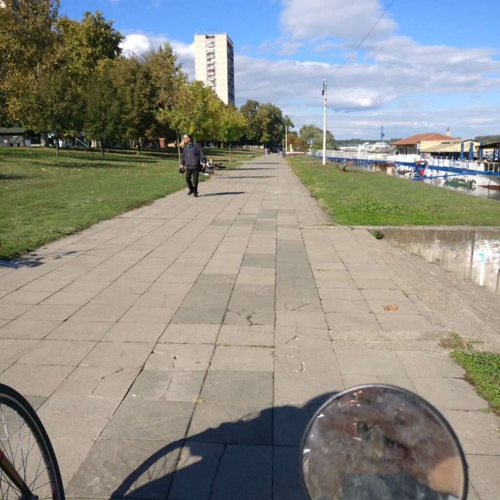
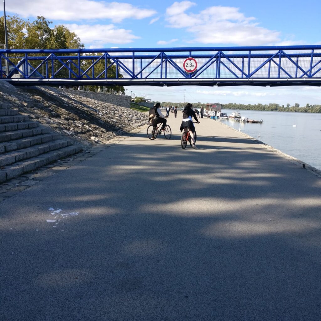
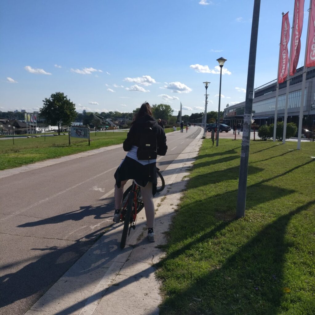
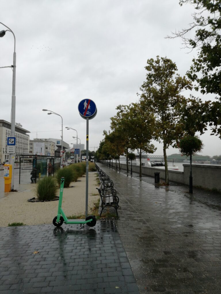
Waterfront is a promenade for pedestrians, but in fact it is also used by citizens as a cyclepath. This promenade is a frequent public place especially in summer. We noticed cyclists’ prohibition sign at the beginning of pathway. Breaking of rules is caused by the absence of proper cycling infrastructure along the major part of the left bank of the river. Bike sharing points in this area can be understood as a physical proof of the cyclists using this waterfront.
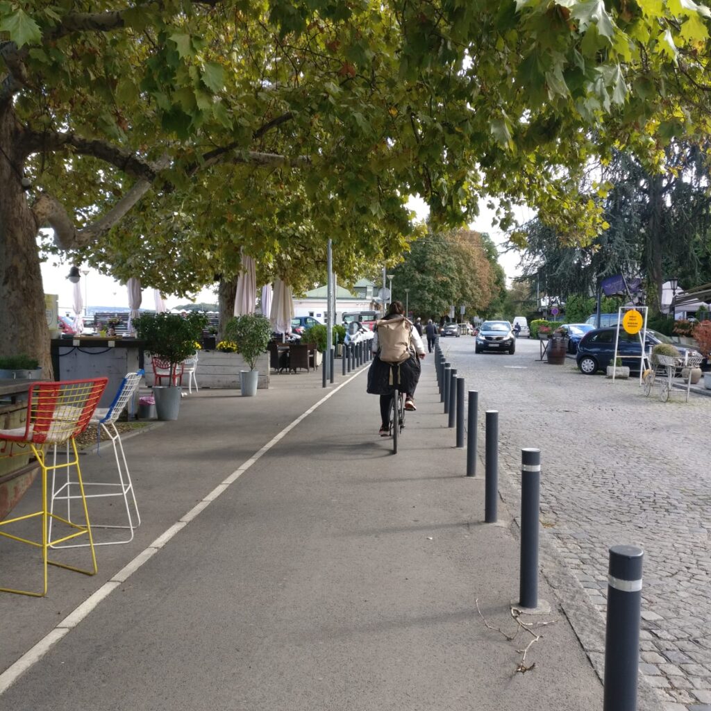
Track 2
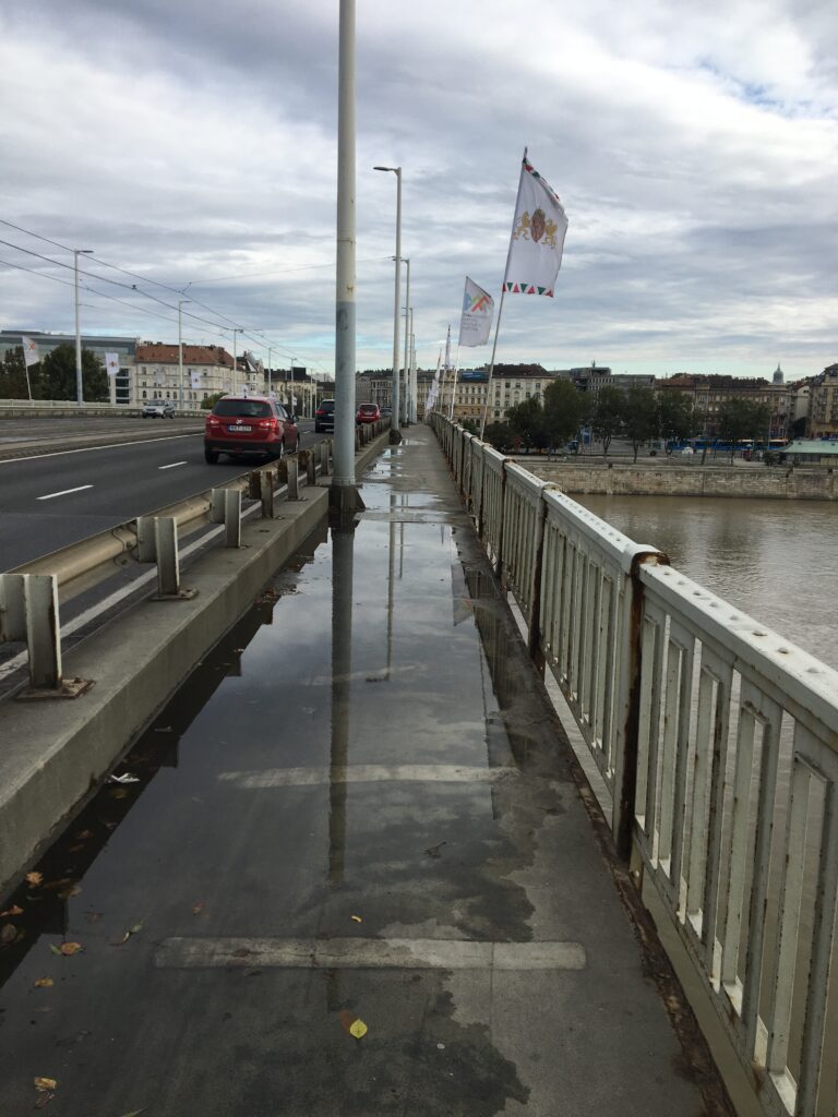
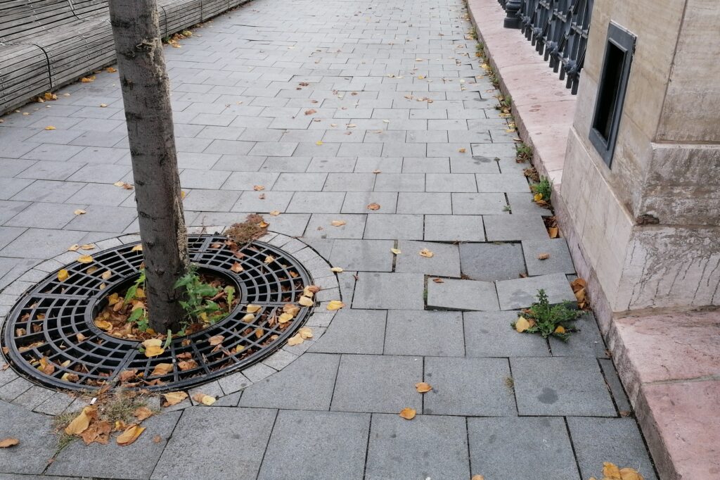
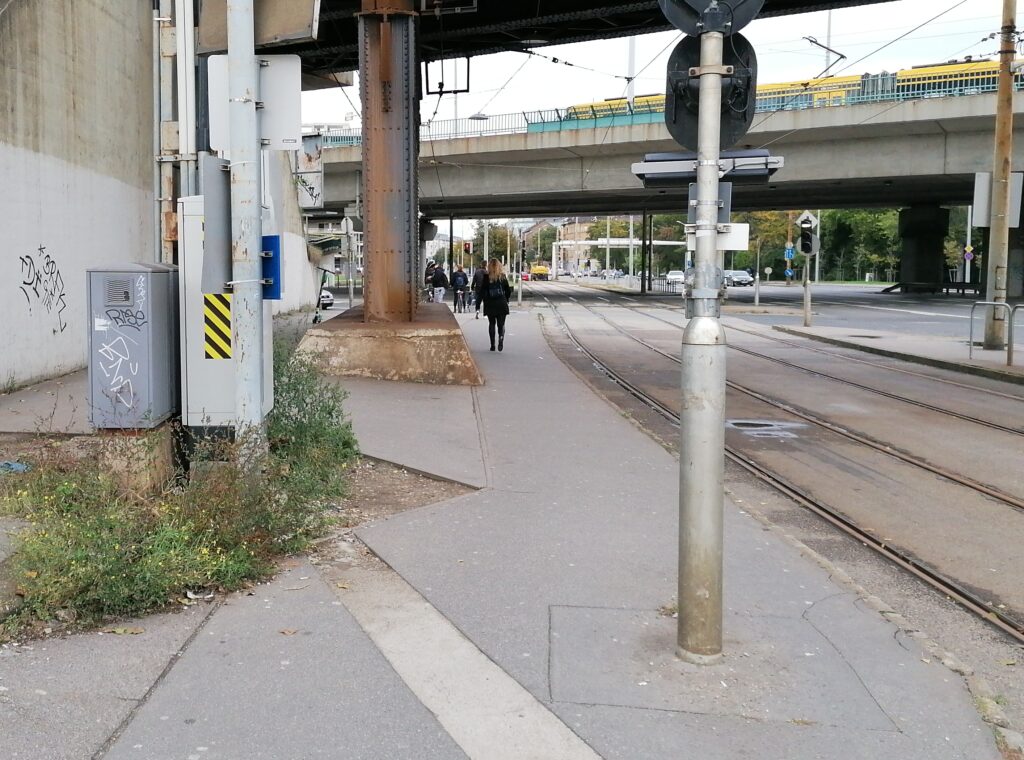
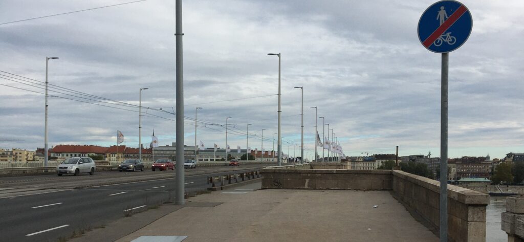
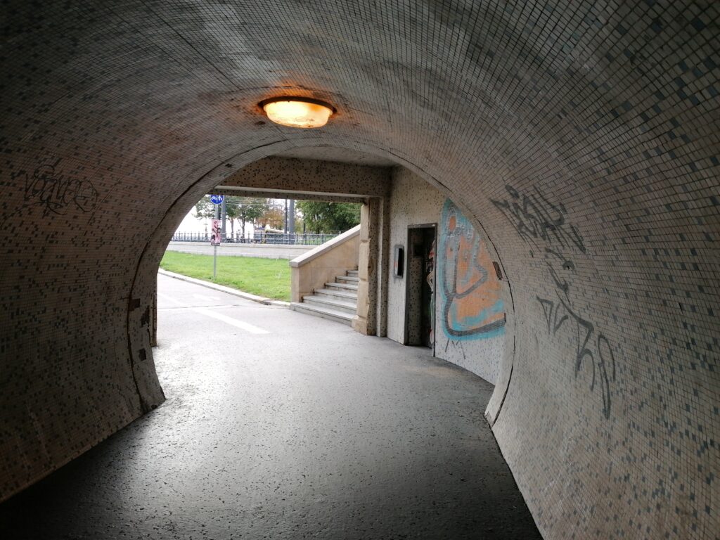
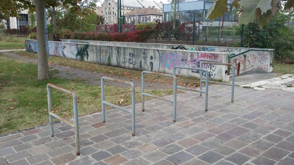
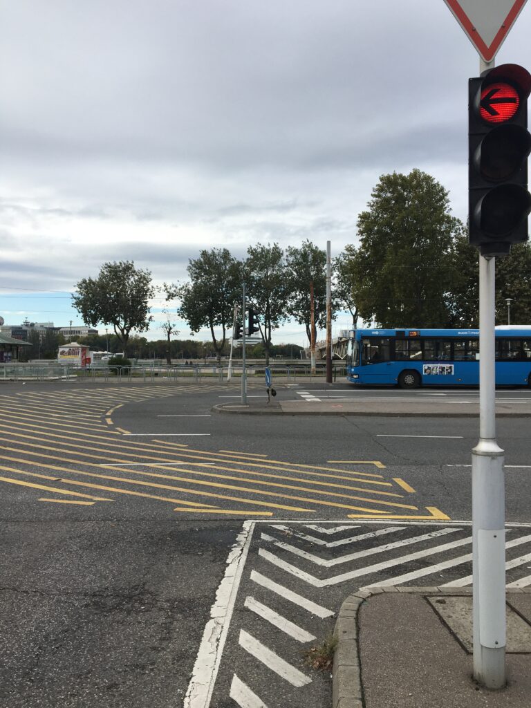
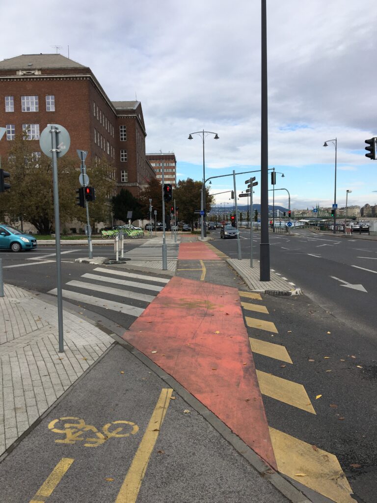
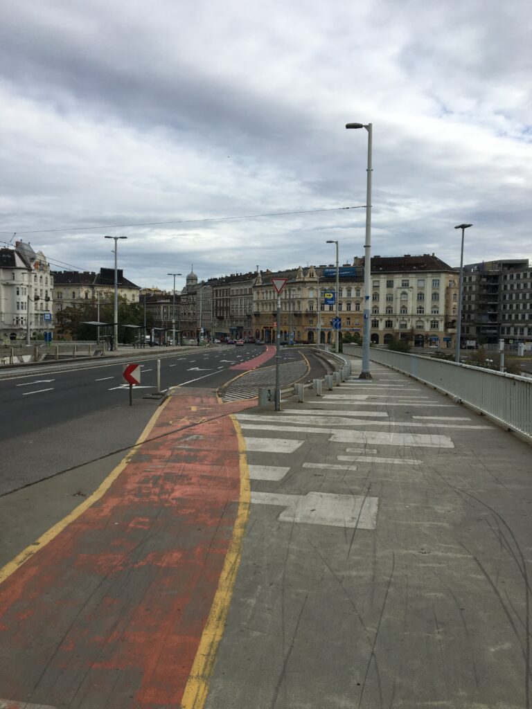
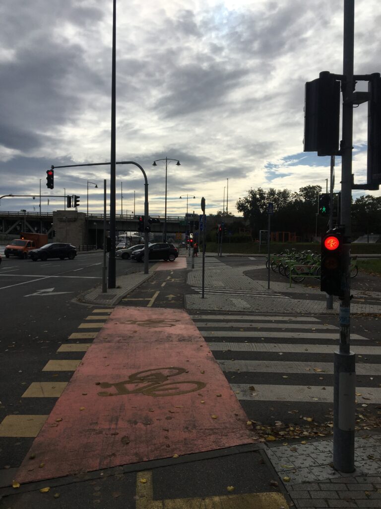
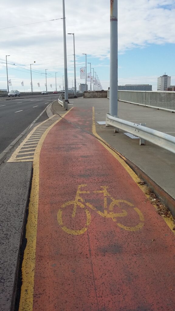
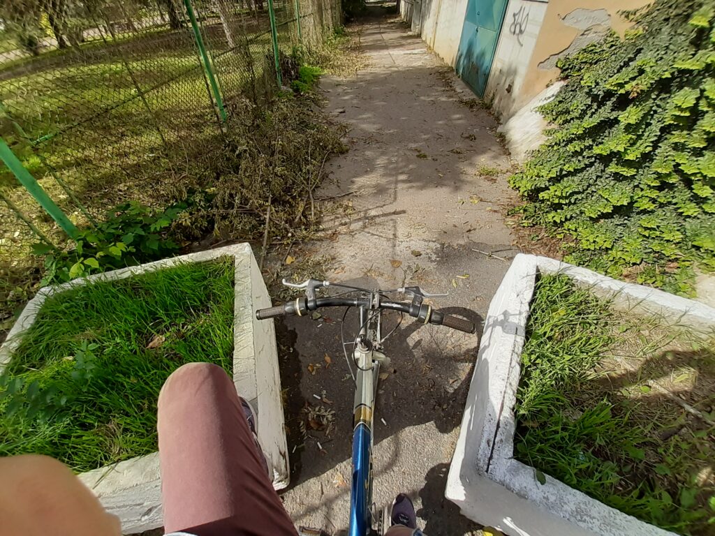
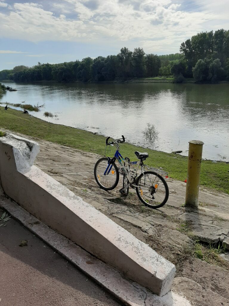
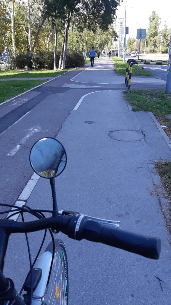
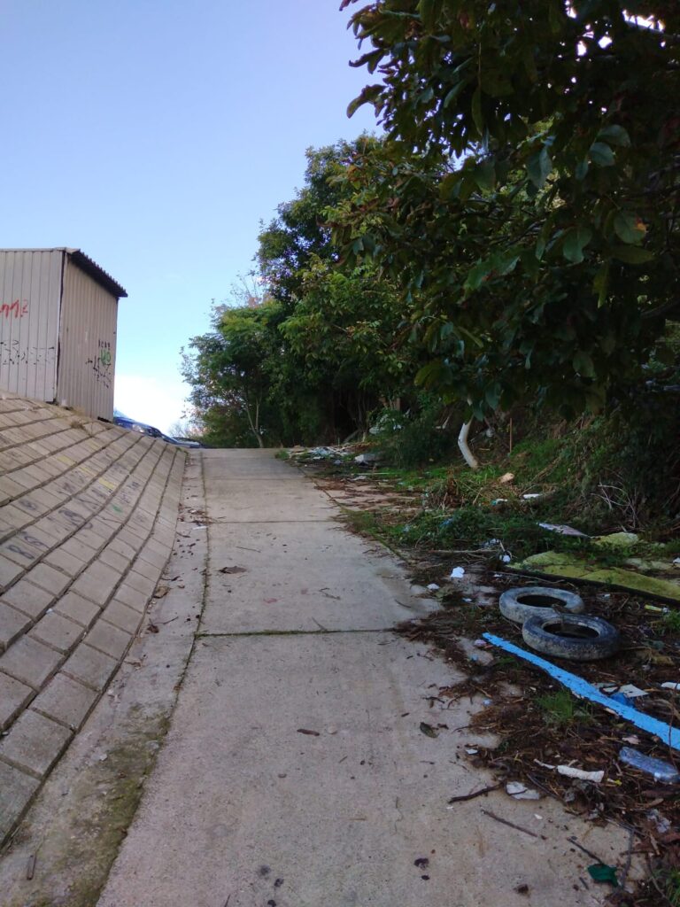
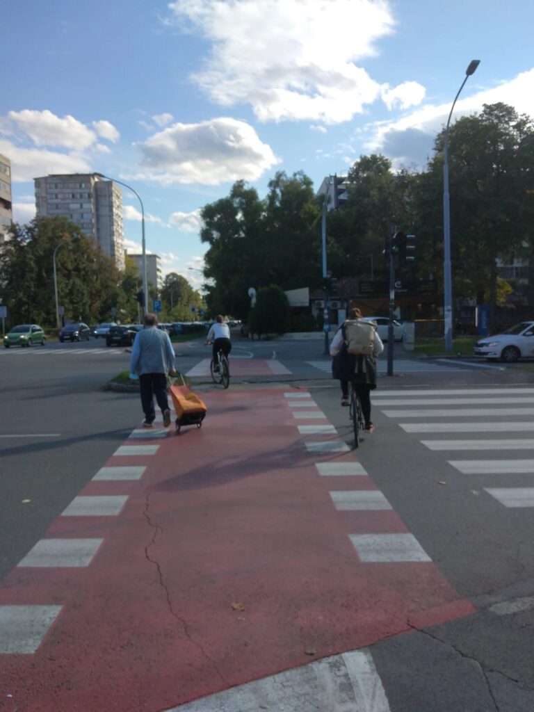
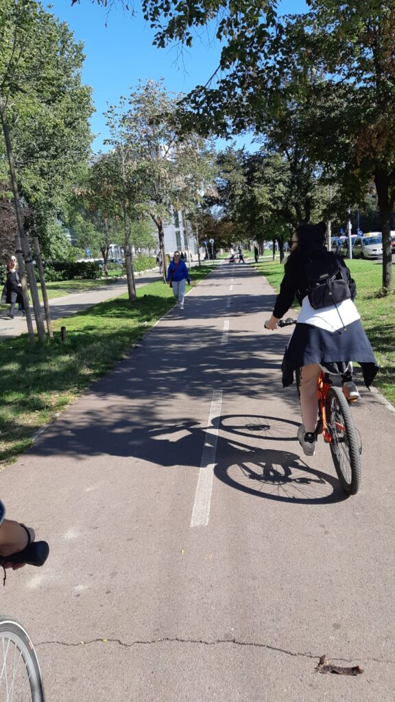
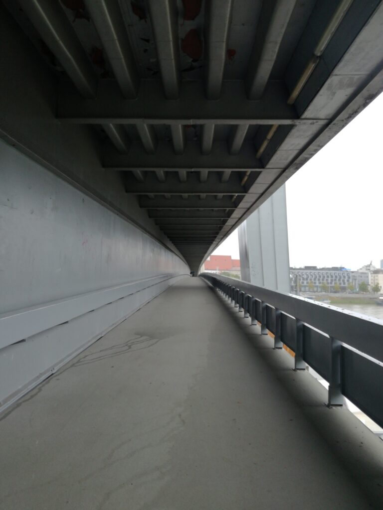
This track is a segment of official cyclo infrastructure along the river (also Eurovelo 6), but it is not visually connected with the Danube. Cyclopath itself is hardly visible and has physical standing signs or drawn signs on the ground in poor condition. In this part of the path can be found several dangerous junctions which are poorly organized and highlighted. Entrance to the bridge SNP is not bike friendly due to the steepness of the ramp. The bridge itself, namely the lower part for pedestrians and cyclists, is approximately 3 meters wide, which can cause conflicts.
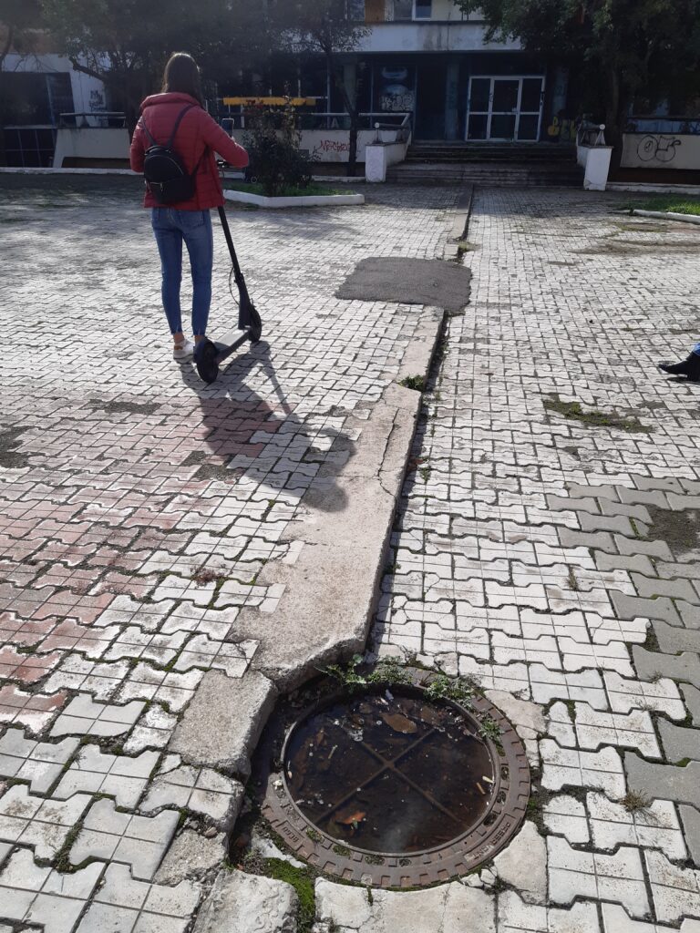
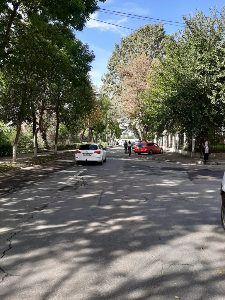
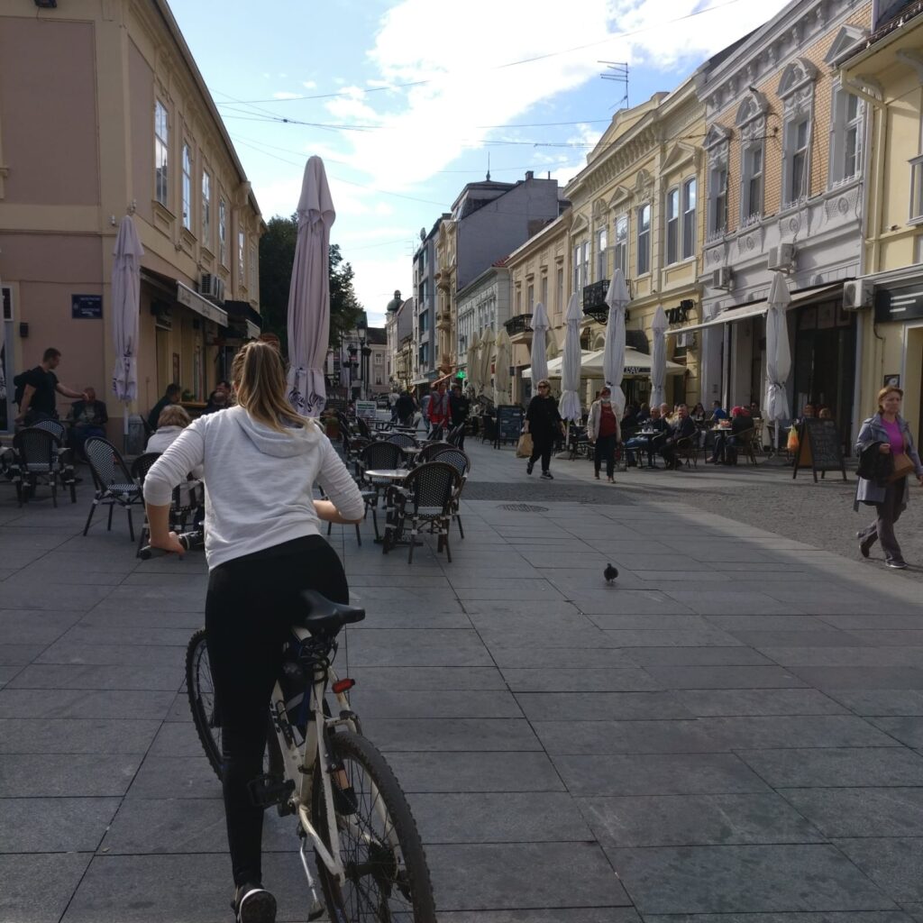
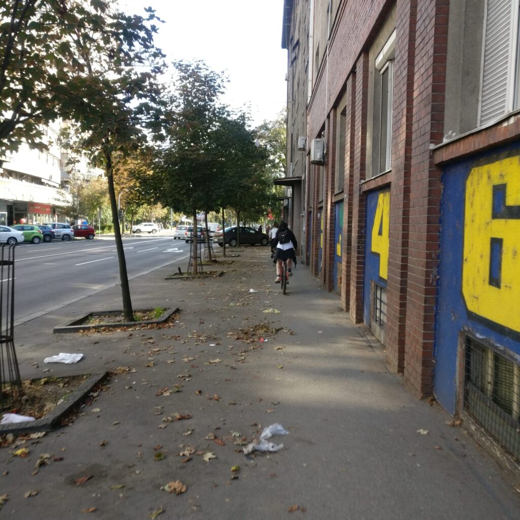
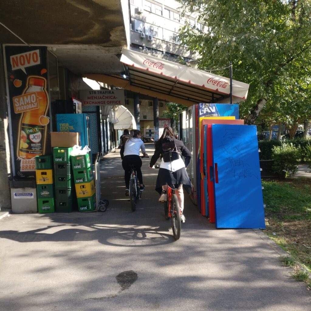
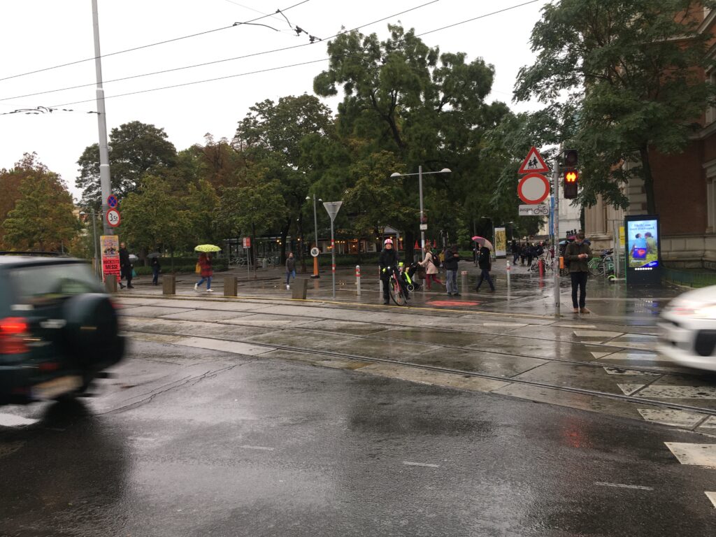
Track 3
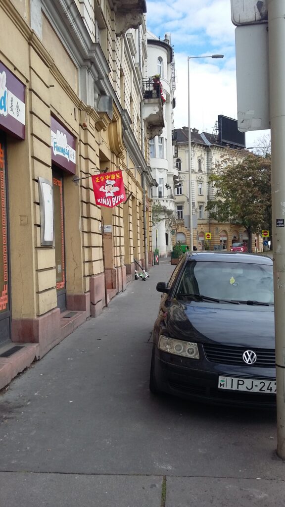
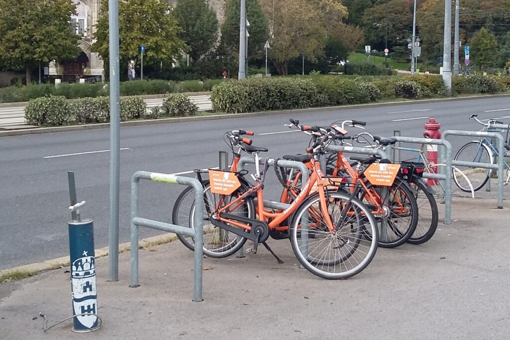
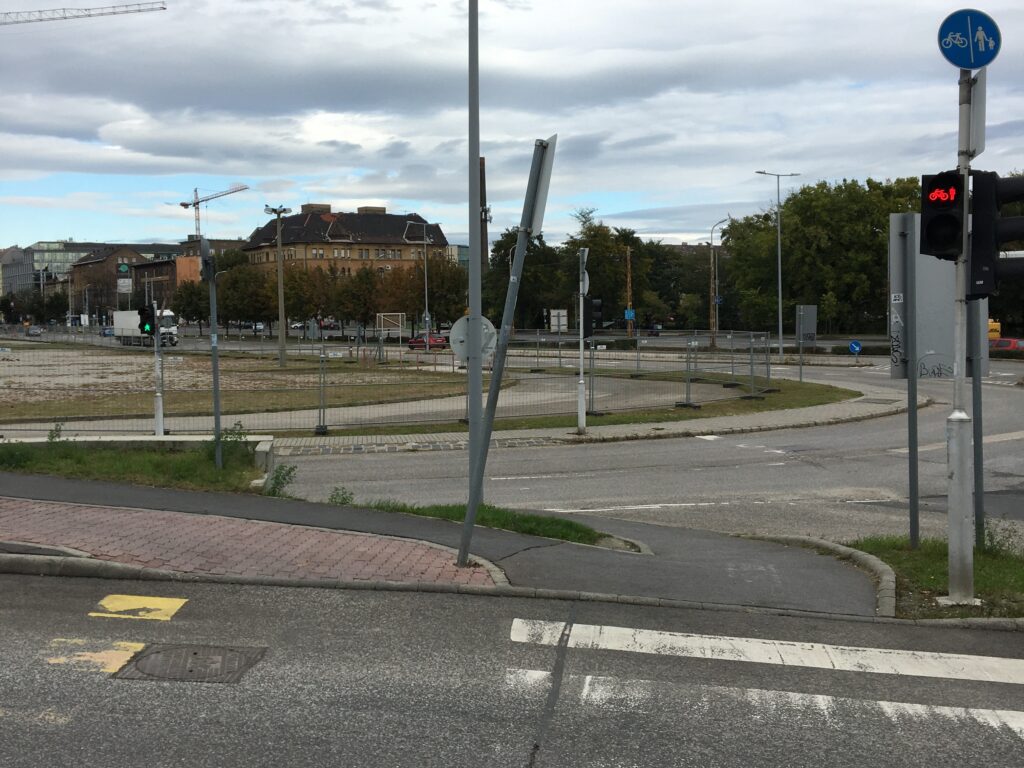
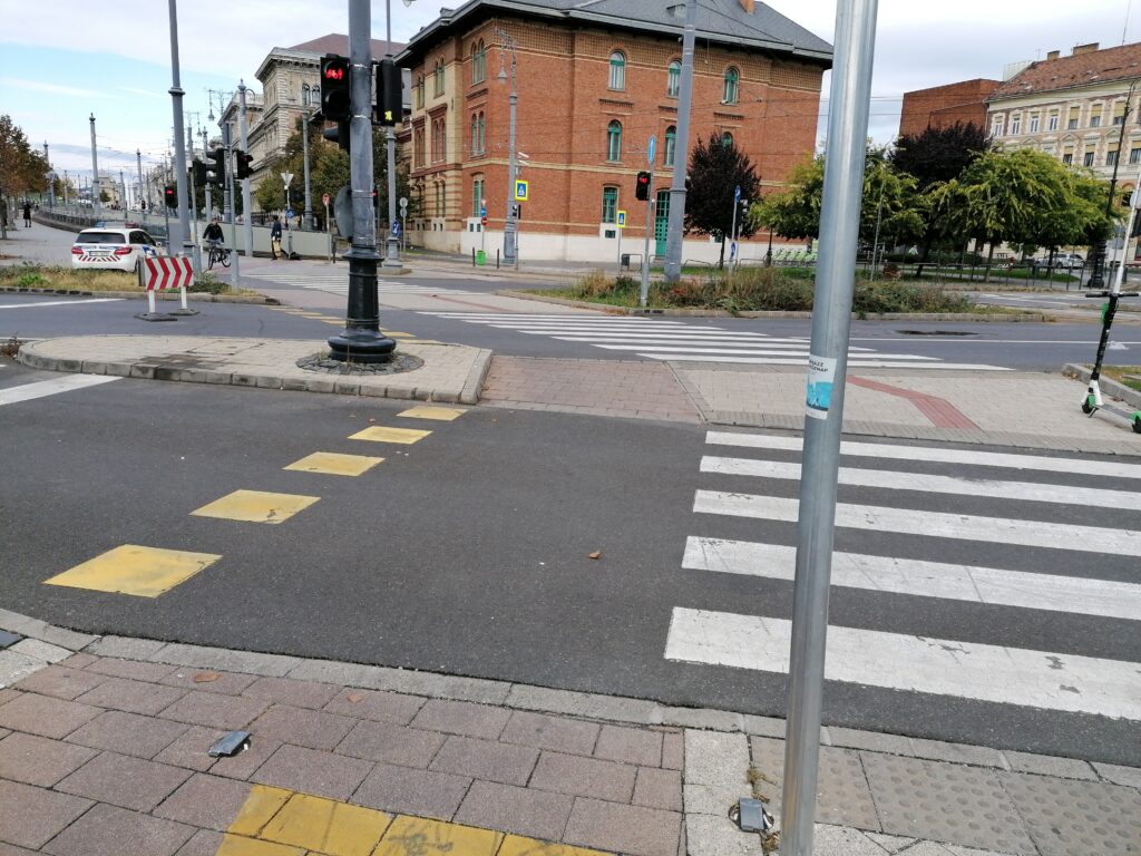
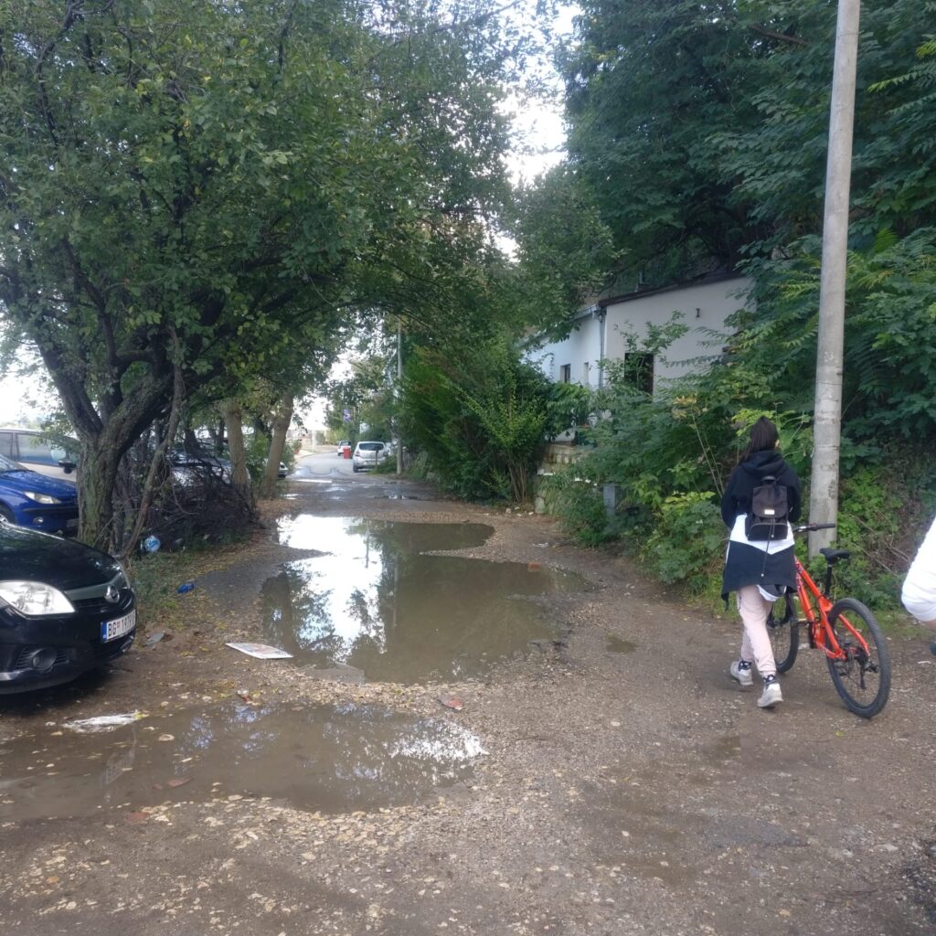
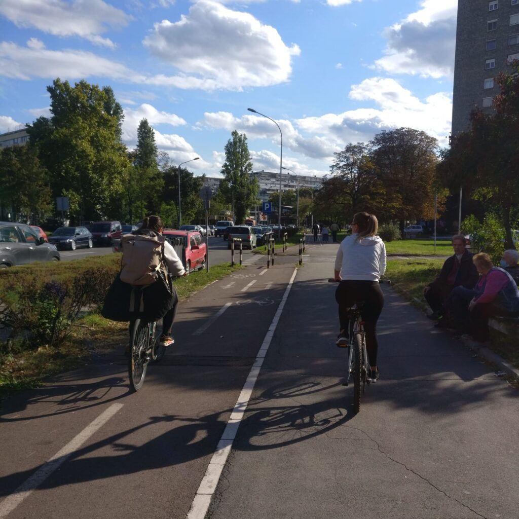
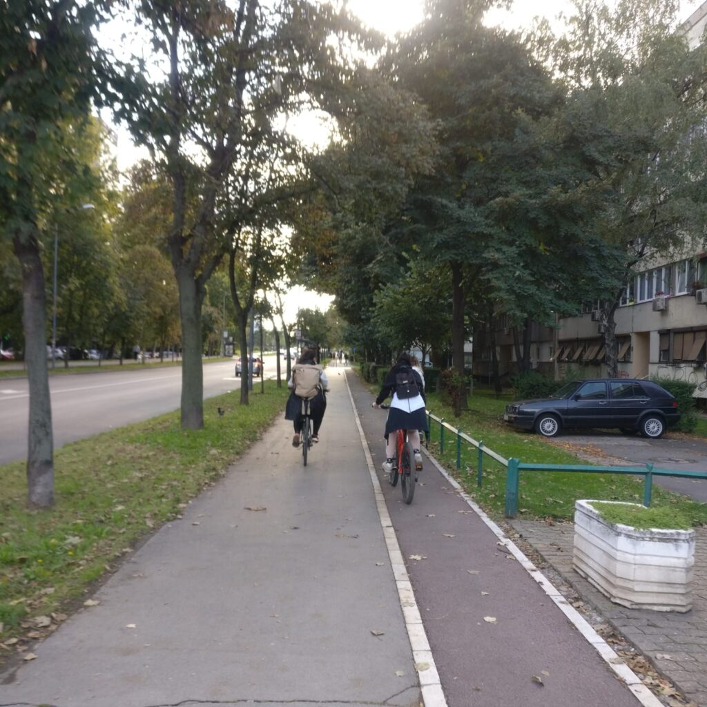
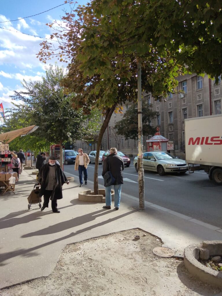
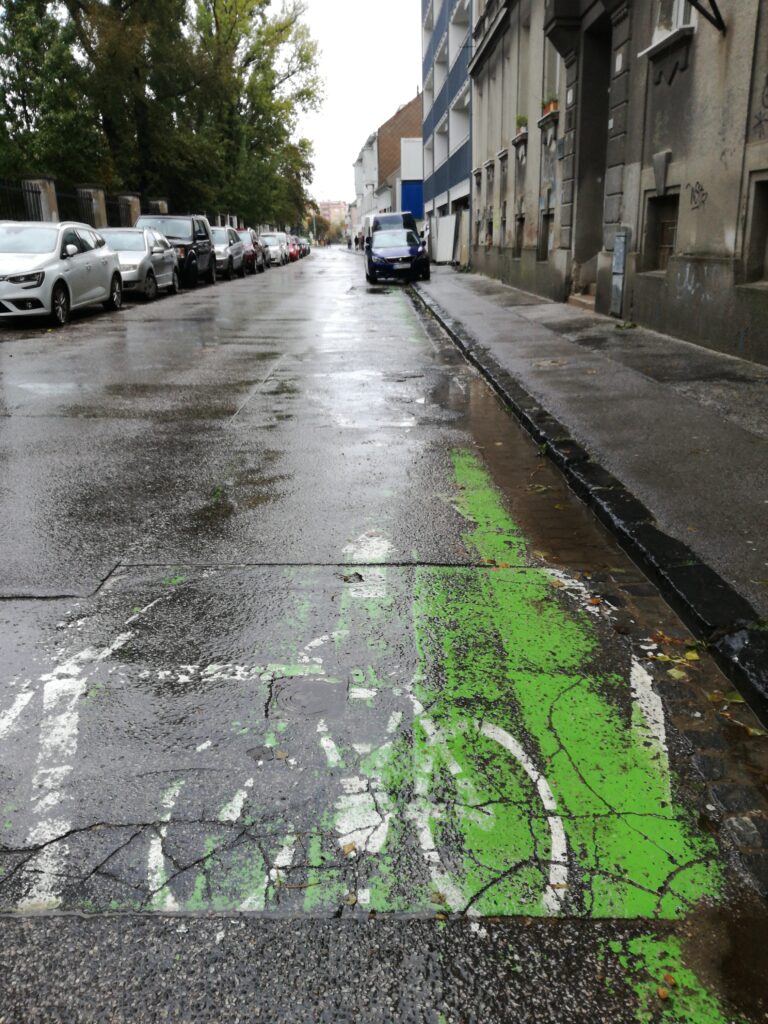
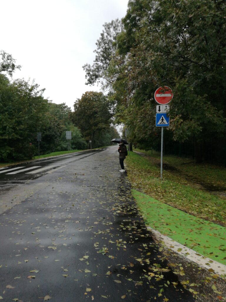
Another “no cyclepath” zone, but this track starts at one of the most frequent bus stops in the city center and continues to the Faculty of Architecture and Design. This path is on the main transport route crossing the city, with 4 to 8 driving lanes. This route has poor pedestrian paths and no cycle paths. One part of the track is an official cycle path, long only a few hundred meters marked with a green line on the ground. The colouring is barely visible. Furthermore, cars are often parking on this cycle path. Furthermore, cycle path ends at the next junction and one has to continue on the road, or walkway (this is prohibited in Slovakia).
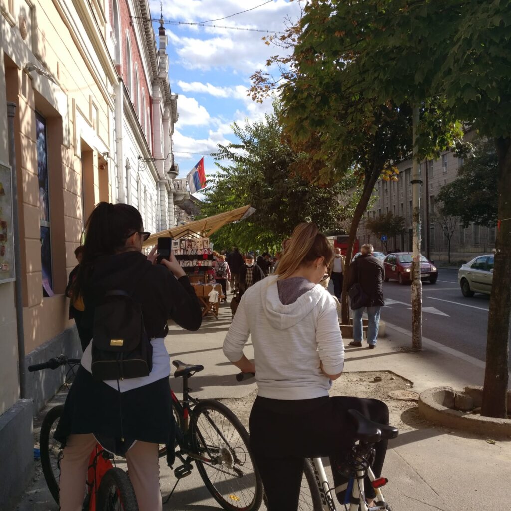
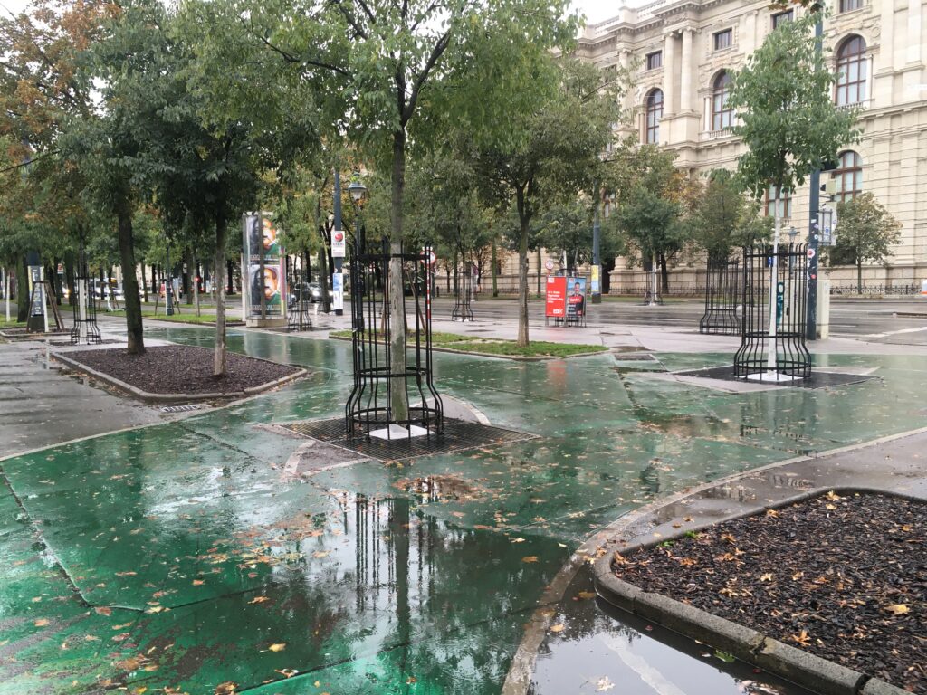
Track 4
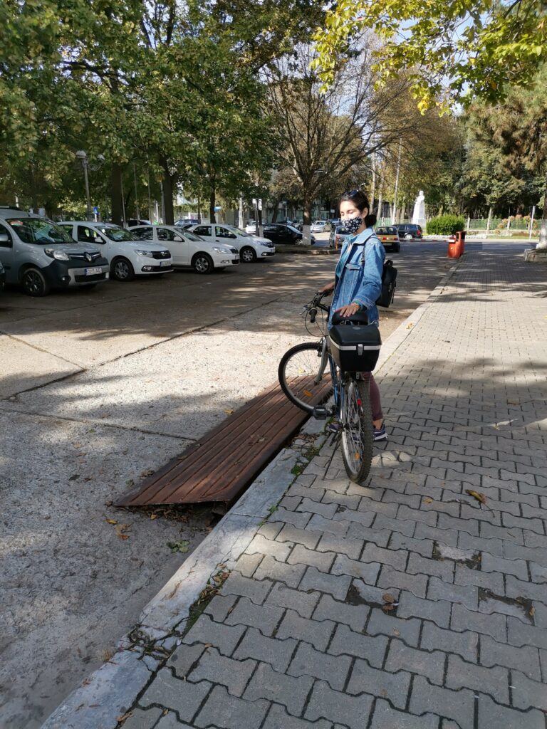
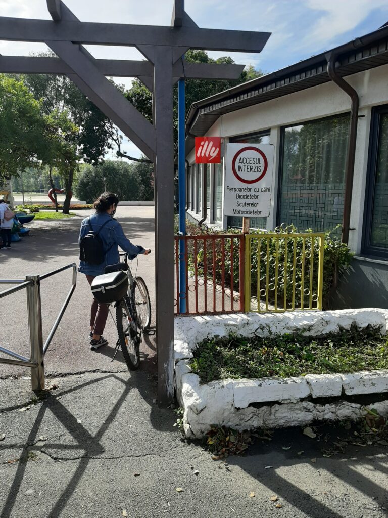
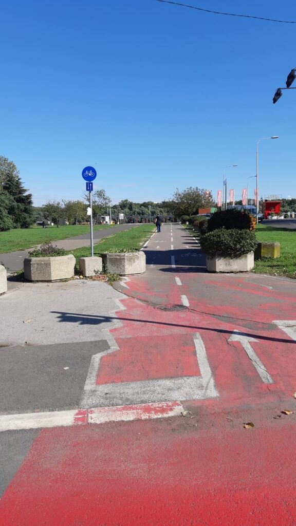
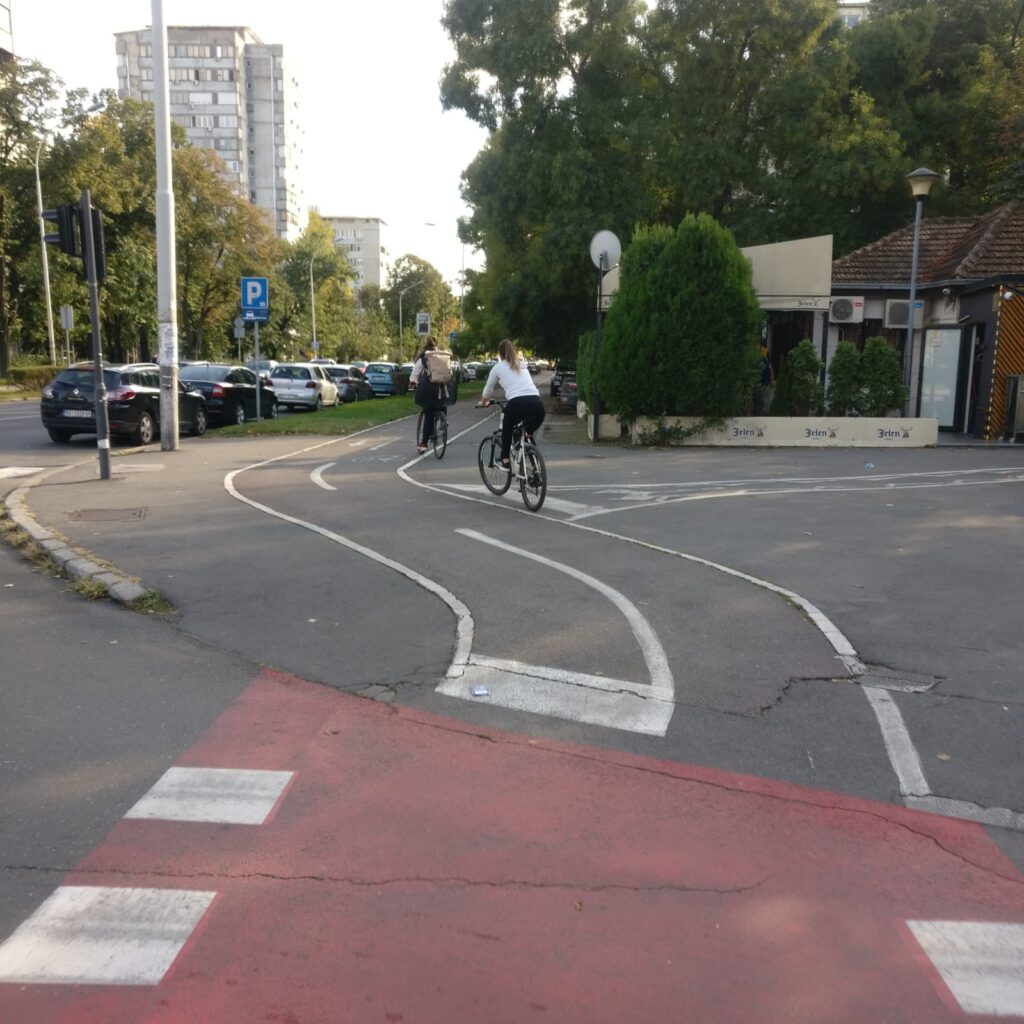
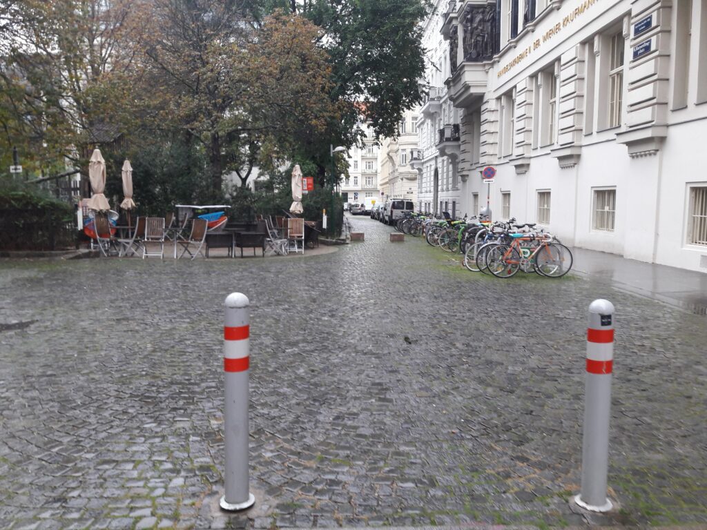
This track is located in a newly built downtown, and crosses a theater, a shopping centre, and some other facilities. Despite the contemporary development of this area it is full of barriers and without marked cycle paths, little possibilities to park the bike or bike recreation in general. We can find here narrow pathways, just a few rest places and bike stands of poor quality in front of the entrances to shopping mall. Moreover, the area along the shopping mall is the missing connection between two existing cycle paths along the waterfront, which are part of the main cycle transit route. However, it is prohibited to ride a bike in front of the theater. This rule is being continuously broken by people.
Methodology
During the bikeability study in Bratislava (Slovakia), several methods of spatial field research were used. Our approach to the topic consisted of GPS movement tracking, which was converted into the path visualizing the researched area. Problematic places and their elements were geolocalized along these paths. Those were further evaluated by making memos in the form of handwritten comments and remarks. Additionally, our observations are illustrated on photos of the observed places and elements.
The field research was executed with the use of freeware application OsmAnd. Bikeability mapping focused on the total number of 4 tracks in the total length of 8 kilometers. Altogether, 62 photos were made with the use of this app. Collected data of the field research were further converted into GeoJSON format of geographic data structure via geojson.io webpage. This type of conversion ensured further presentability of the acquired data, as well as the possibility of the further research and comparison. The whole approach is embedded within the OpenData principle, when the data are publicly aqurrible, and accessible.
Methodological reflection
Problems and/or difficulties
The problem point of our research was the un-compatibility of mapping tools from the used application for Iphone users and an unfortunate coincidence of really bad autumnal weather with heavy rain through data acquisition days. We also got into some dangerous situations in confrontation with cars at places without pedestrian/cycle infrastructure.
Furthermore, we found the use of app, subsequent transformation into GeoJson and further transformation for the purpose of the visualization overwhelming. Optimally, the app or interface should be able to directly convert GPS coordinates into GeoJson formats.
Easy points
We consider the easy part of the research site selection and identification of problems.
Potentials and constraints in using the methodology
As a big potential we can suggest using this system by citizens as a real time tool for reporting damages, obstacles or problems to municipalities also as a valuation tool for cycle paths. Constraint of this usage can be subjectivity of acquired datas. However, such tool already exists in Slovakia ( Odkaz pre starostu – https://www.odkazprestarostu.sk/, Pocitové Mapy – https://www.pocitovemapy.sk/).
What was good/bad suited to illustrate the observations
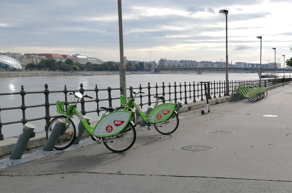
Our city suffers with lack of oficial cycle paths. Existing cycle paths have bad sings, dangerous crossings and poor discipline. Cyclists endangered pedestrians, drivers endangered cyclists. We have a relevant net of bikesharing points but just in the city center.
Which questions could be relevant for further research?
Daily usage of focused routes, how much cyclists we can find here and what are their tracks.