Introduction
Concept
Just until recently, the task of mapping geographic phenomena was reserved for cartographers and other experts, who had access to the needed equipment (telescopes, sextant, theodolites, etc.) and expertise. Nowadays, facilitated by the wide prevalence of smartphones and other connected devices, it became inherently easy to define our position, or that of geographic objects and share geographic information with others. In order to describe this phenomenon, the British-American cartographer Michael F. Goodchild coined the term “Volunteered Geographic Information”, which is created and distributed by non-trained users exploiting the possibilities provided by technological innovations in Web 2.0 and telecommunication. Our mobile phones are probably the most prominent devices in generating spatial data, as they are capable of taking pictures, videos, audio recordings, georeferencing these and sharing them online.
Within the Erasmus+ project Danubian_SMCs, a workshop week was hosted aimed at highlighting, testing and reviewing the potentials of VGI within spatial planning approaches, most importantly to challenges related to small and medium sized cities along the Danube.
Students and lecturers from seven universities from five countries participated in an online workshop coordinated by TU Wien and focussed aspects of bikeability and accessibility in their home cities. These topics were selected because they play a key role in transforming Danubian cities to ecologically and socially sustainable and resilient places.
The workshop participants used their smartphones to collect relevant data to describe specific situations in their cities, in the form of pictures, notes, tracks and audio recordings. The workshop coordinator guided this process with theoretical input on VGI, data acquisition, data handling and web mapping.
The outputs of research initiatives are collected on this workshop homepage which features blogposts of students presenting the results of their research in an interactive way.
two analysis topics
Increasing the mobility of citizens is not only the establishment of relations in space and time …
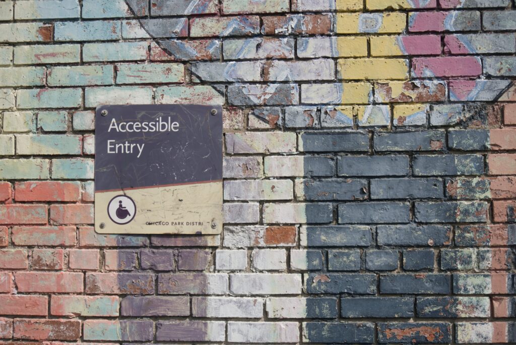
Accessibility
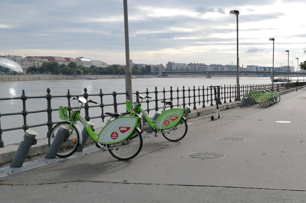
Cycling is likely to become the fastest growing mode of transport …