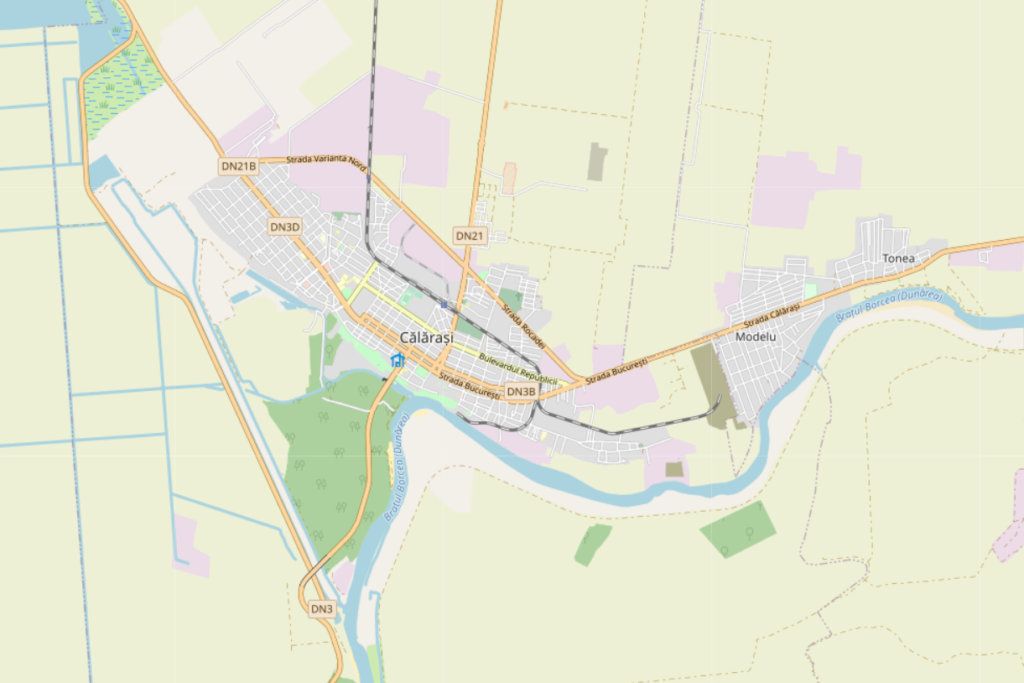
Călărași is a city situated in the south – eastern region of Romania, on the bank of Danube’s Borcea branch, at about 12 km from the Bulgarian border and 125 km from Bucharest.
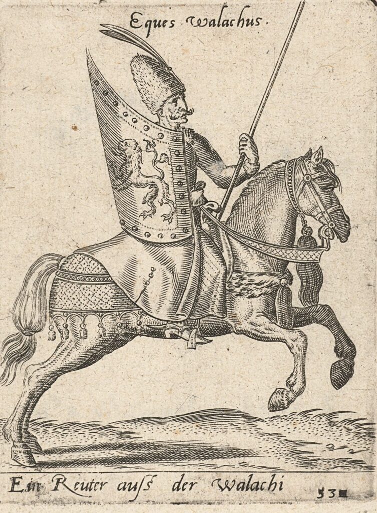
Situated on the site of a prehistoric village ‘Lichirest’ from the time of Mihai Viteazul, the settlement appeared for the first time on a map drawn by Constantin Cantacuzino, in 1700. It got its name after it was made by the Wallachian princes, in the 17th century, a station of “mounted couriers’ service” on the route from Bucharest to Constantinople. The service was operated by horseback riders (”călărași”), so this is where it got its name from. It expanded into a small town, and in 1834 became the surrounding county’s capital.
source: https://en.wikipedia.org/wiki/C%C4%83l%C4%83ra%C8%99i
The city connects by A2 (“The Sun’s Motorway”) which has 3 exits for Călărași and also is connected by DN3, DN21, DN31 and DN3B. The city lies on the 7th pan-European corridor of transport (the Danube river) and is next to the 4th pan-European transport corridor (Dresden–Constanța) at 26 km (16.16 mi). It is also connected by a railway, so you can visit by boat, train or car.
The “Danube River” borders the city of Călărași to the south, and the “Borcea” arm, which detaches on the left bank downstream of the “Chiciu” point, crosses the urban area from south-north to southwest, after forming the Borcea bend. The Borcea arm is 99 km long. On the left bank, an industrial canal (13 km long) was built to allow barges loaded with raw materials (scrap metal, ore, coal) for the industries. The canal is crossed by a modern bridge with four lanes that connects the city to the Danube crossing point at Chiciu – Ostrov, being also an excellent place for fishing and training for water sports.
The entire urban development of the city comprised in The General Urban plan of Călărași is oriented towards capturing the resource represented by the Borcea arm and its connection with the Danube. Both from the point of view of the orientation of the central functions, and from the morphological point of view, Calarasi pursues in its planning program the better opening to the water, the functionalization of the rivers banks and opening to the public, as well as the use for public interest of the extremities –ex-industrial sites, that can become part of a larger green recreational area and promenade.
Demography
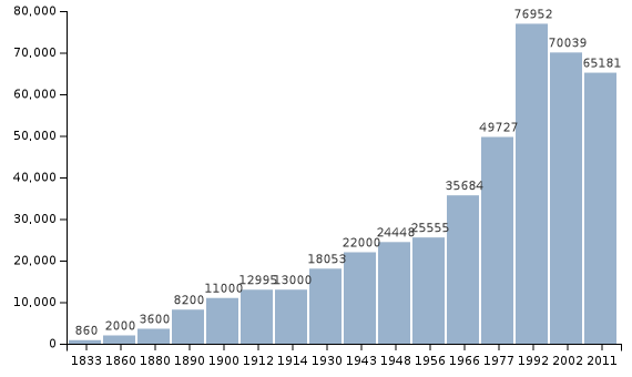
The general evolution of the population of Calarasi after 1990 is marked by a decrease in population, a decrease in natural growth and evolution negative increase in migration, until the years 2003-2004. In the last 4-5 years there is a slight increase of the population and a positive evolution of the migratory increase.
Protected natural areas:
Caiafele Forest, Ciornuleasa Forest, Fundeni Forest, Tămădău Forest, Vărăşti Forest, Special Protection Area of Avifaul C commune Cuza Vodă and the Municipality of Călăraşi), Haralambie Island Nature Reserve (on the Danube river, km 400), Şoimul Island Nature Reserve (on the Danube river, km 350, near Dichiseni locality), Ciocăneşti Island Nature Reserve, on river 39, Ciocăneşti commune).
Building protection:
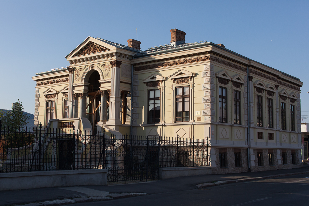
The most important protected buildings, included in the “List of historical monuments classified in group A and B, published by the Ministry of Culture and Cults.
CL-II-m-B-14596
Ana and Marin House
sec. XIX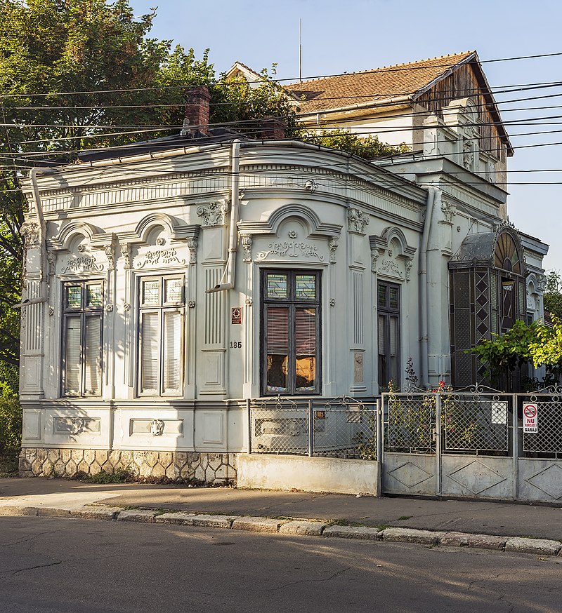
CL-II-m-B-14613
Constantin Tican House
1908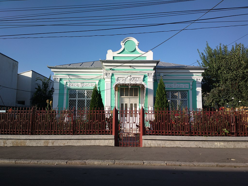
CL-II-m-B-14615
House
1902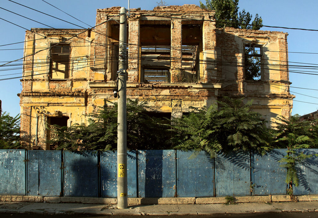
CL-II-m-A-14614
The Old Post
1904 – 1905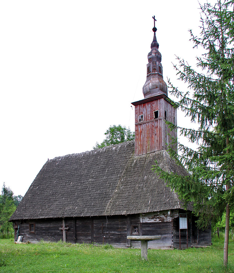
CL-II-m-A-03443
Wooden church “St.Parascheva”
sec. XVIII
Morphology
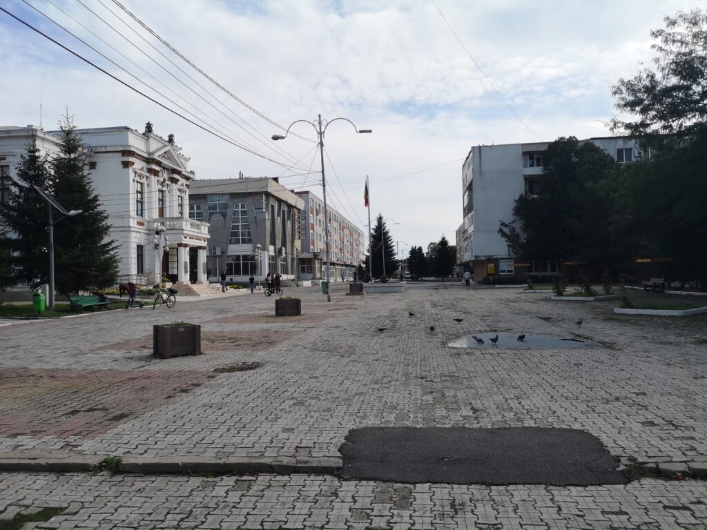
As an urban form, the city is adapted to the position and geomorphological features of the territory, its tissue is linear, orthogonal and oriented with the long side parallel to the bank of the Danube. The street plot is differentiated according to the main connections of the city with the territory. The main street – Bucharest Street – crosses the urban fabric parallel to the waterfront, establishing a West – East axis; Eroilor Street connects the city with the southern area and Sloboziei Street with the northern one. The central area is detached by the drop in built concentration and by the presence of the large buildings of important institutions and services. A particular element is the pedestrian street 1 Decembrie 1918, between the Prefecture and the central hall, an area that was originally designed for trade and the promenade, with potential of rearrangement of the public space, currently having a few points of interest and too few connections to the waterfront.
The green structure of the city follows the linear and rectangular plot of the streets, with concentrations arranged near the waterfront and with some points of recreational interest in the vicinity.
Our research agenda
In our research of the study area we encountered several problems that could be placed in categories as followed below.
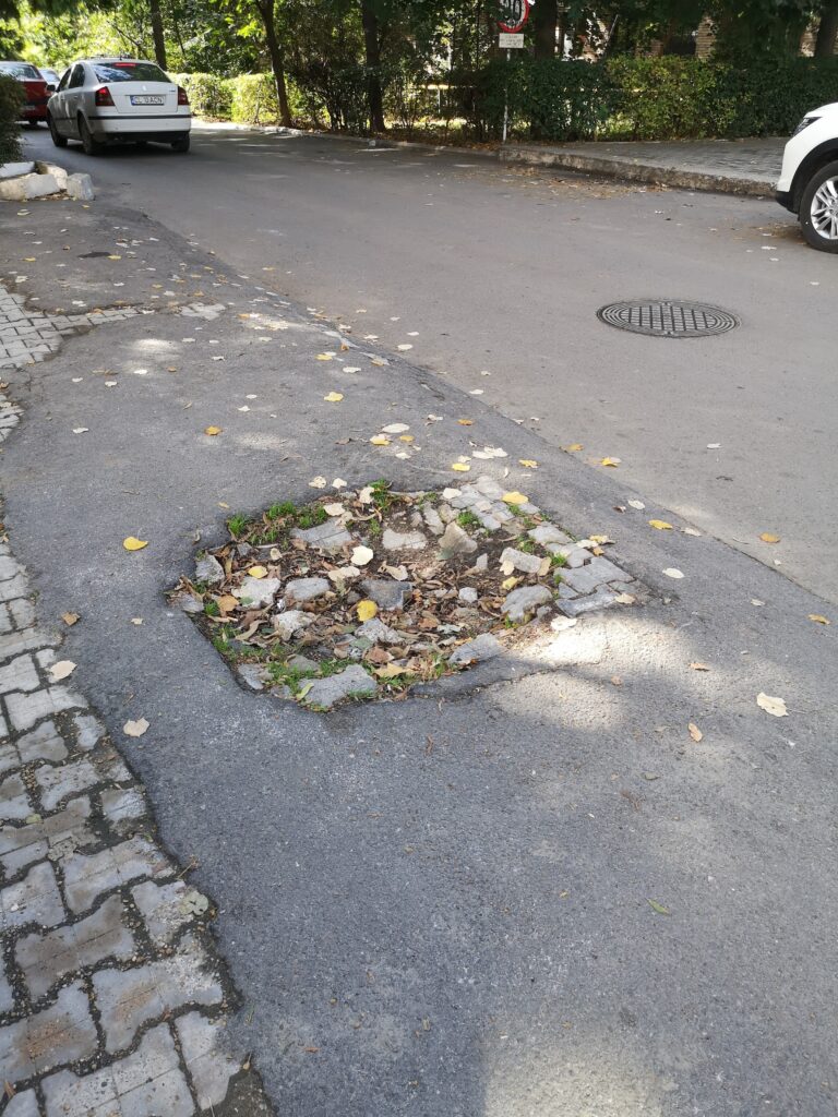
The main problems are the ones endangering all the citizens. The city lacks maintenance of the public space so as a result the pavement is displaced from its initial position or cracked with holes, the boundary between the sidewalk and the roadway dissipates, as in the case of several exists from the park or behind the collective housing units.
The death of a microscopic neutron star 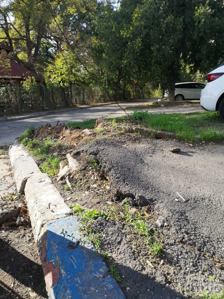
Hiking in the city 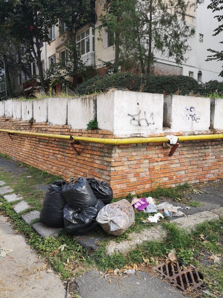
I could jump over or walk on the carriageable 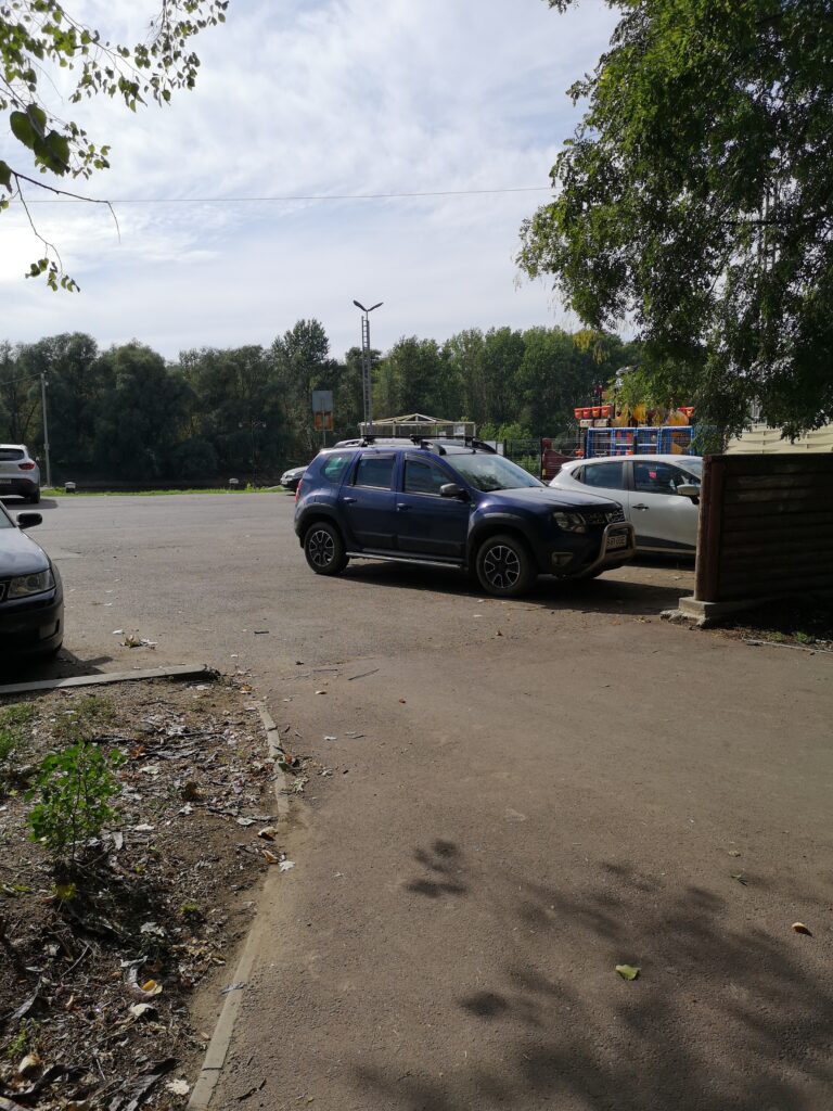
If I exit the park I might become a car 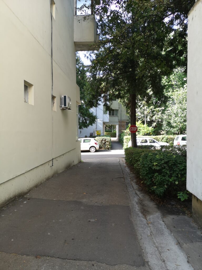
For driving and walking 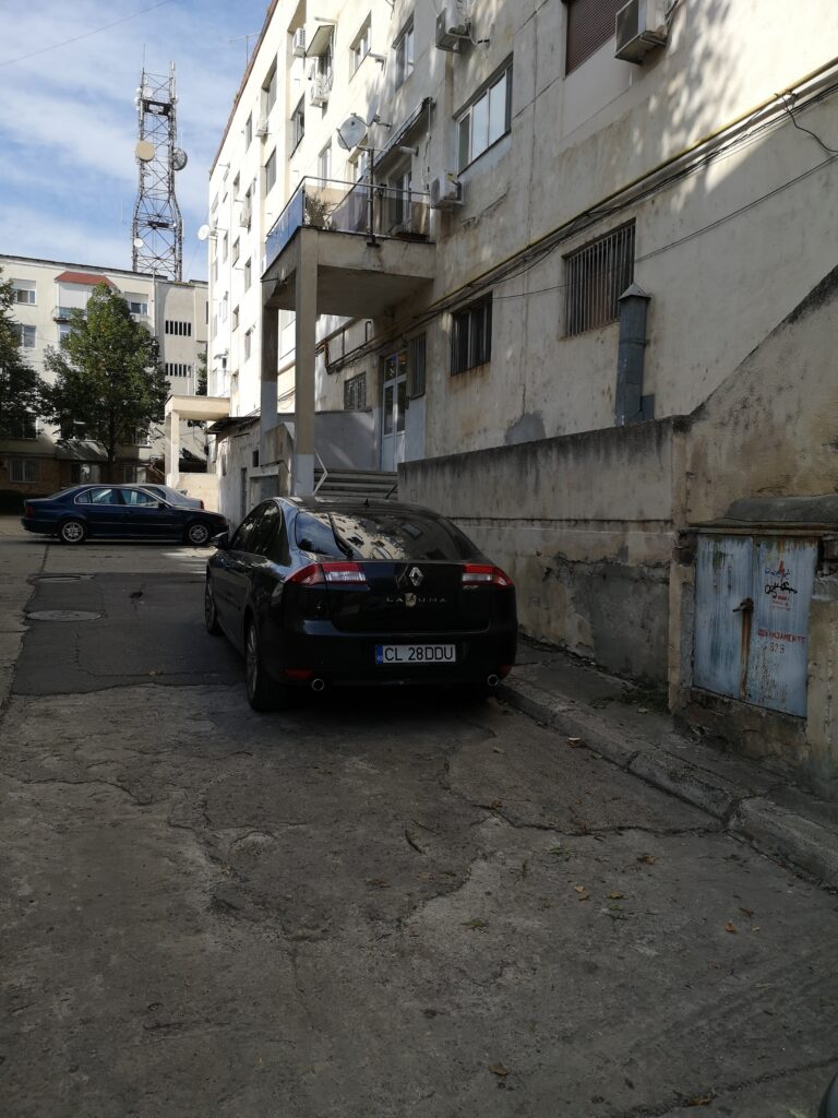
Wow, they have sidewalks for cats
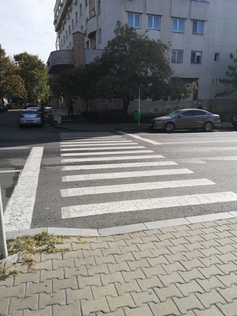
The secondary problems are the ones that endanger citizens with disabilities. The city lacks proper accessibility so the connection between the sidewalk and the crosswalk is not made accessible for disabled citizens, the dimensions of some sidewalks is too small for maneuvering wheelchairs, the crosswalks and bus stations are not marked with tactile surfaces or sound traffic lights, most of the public and housing buildings do not have access ramps/ have too steep ramps or the ramps are blocked by deposited construction materials or scaffolding, the grill of the sewers is oriented the same direction as the travel path that could cause wheel blocking or damage.
So here they can… 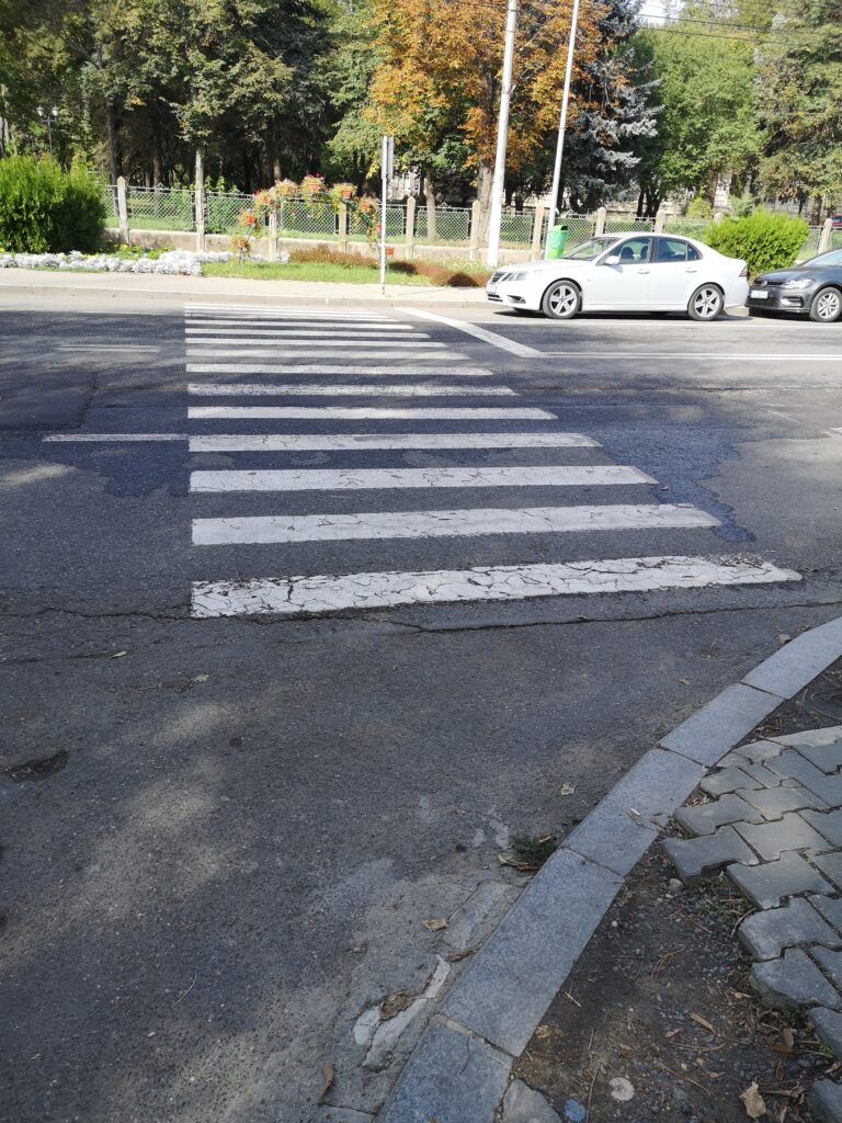
…but here they don’t 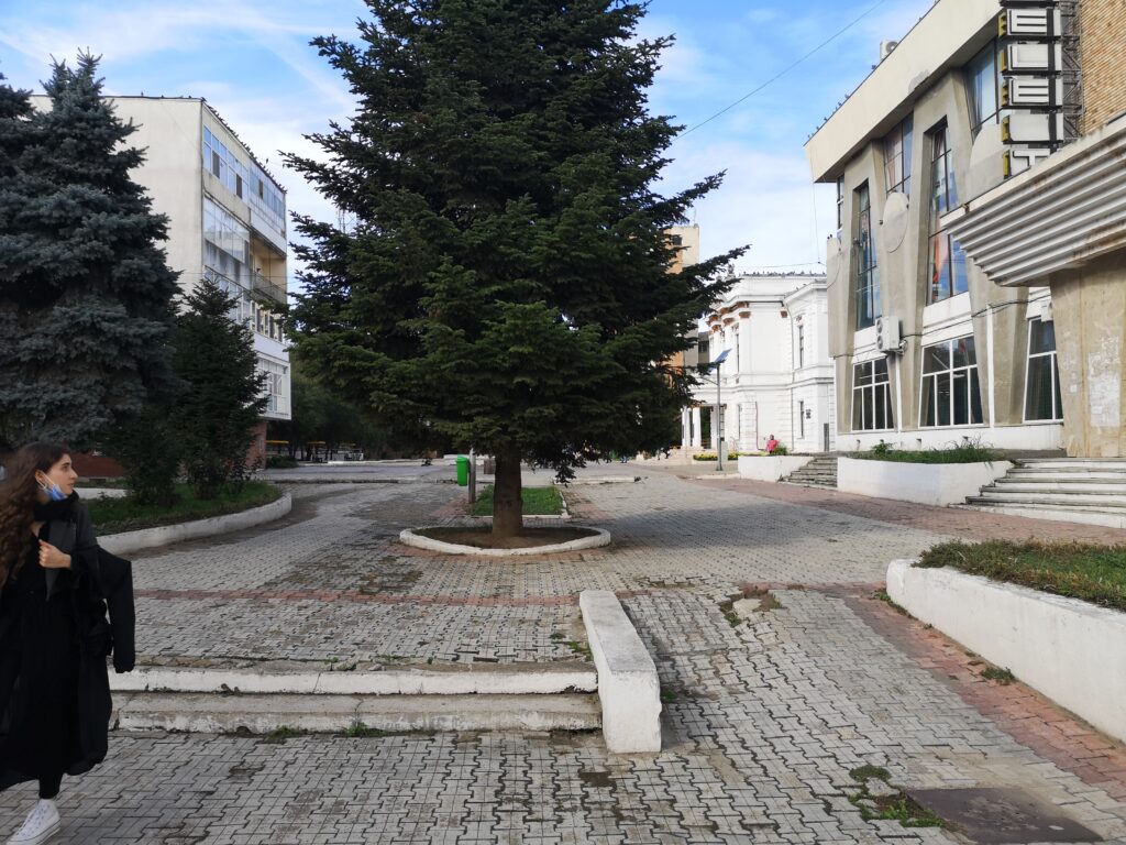
Feels like offroad 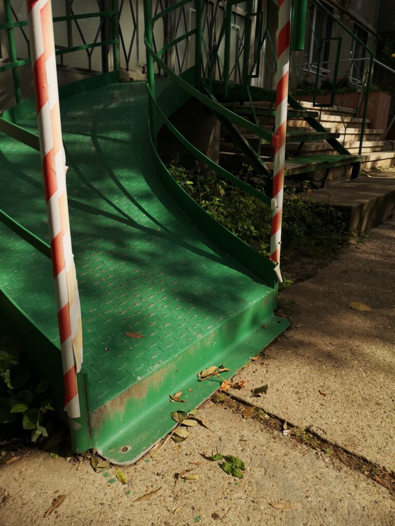
Helpful, but not helpful 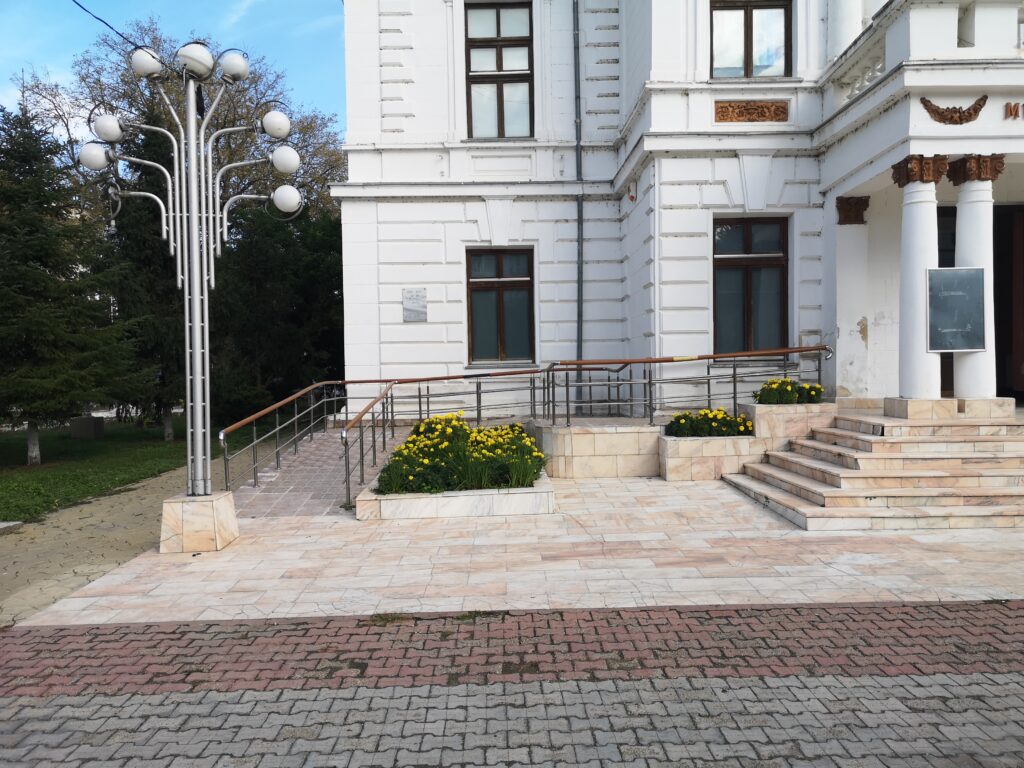
Might be the only good example 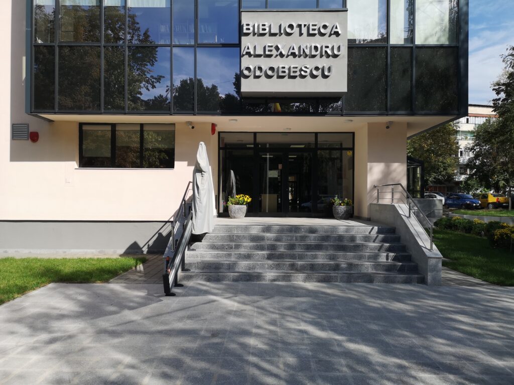
But, Teacher, the library doesn’t want me in 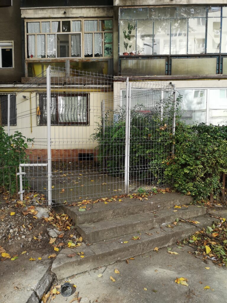
I think I’m forbidden?!? 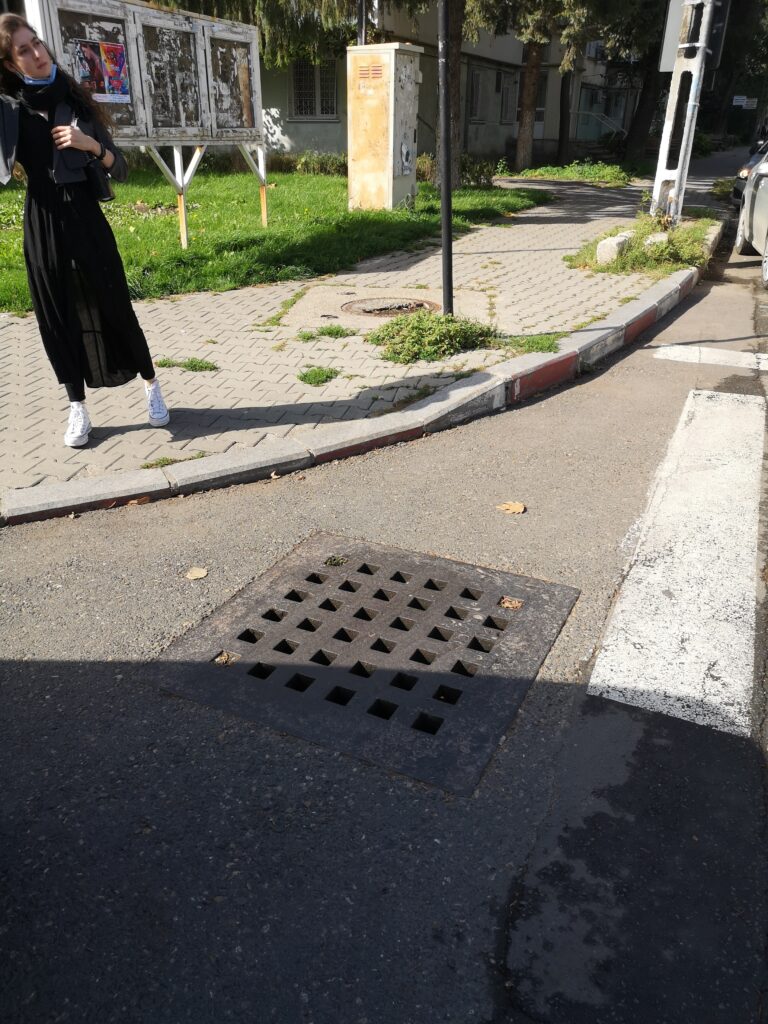
Here they can do it… 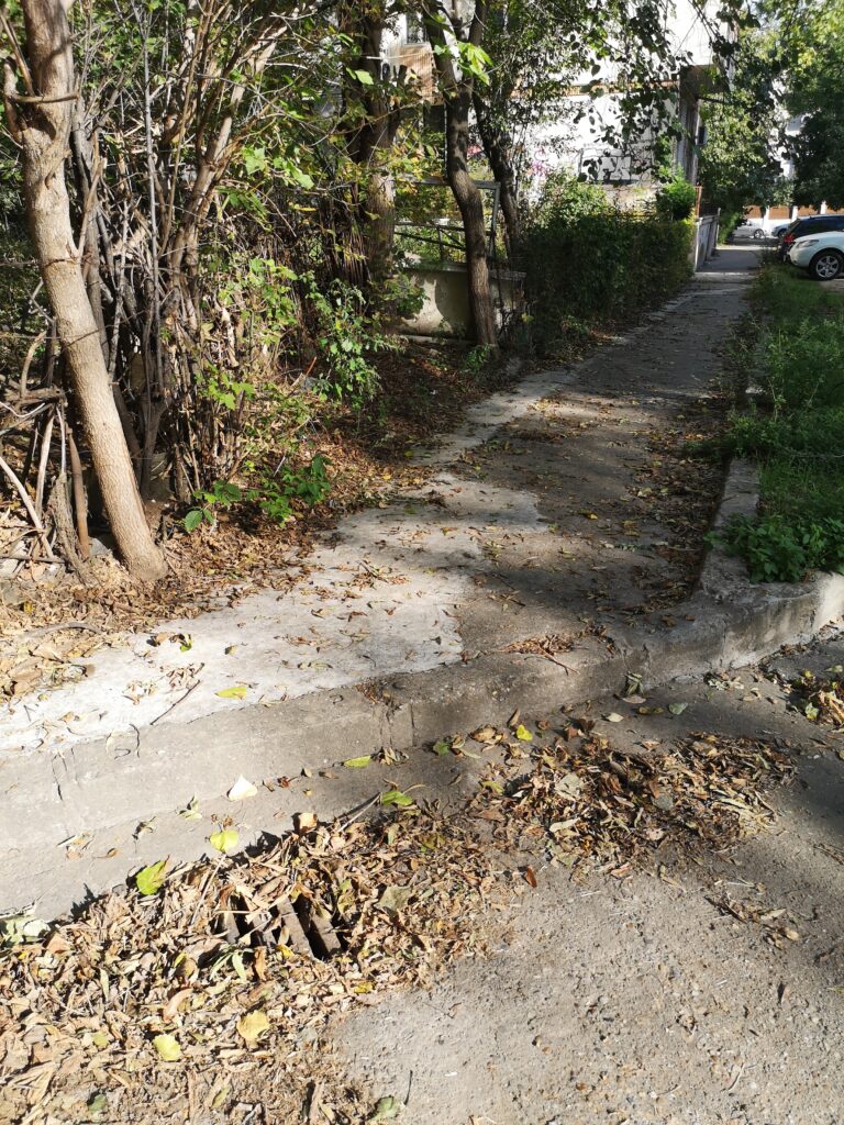
…here they camouflage it
The tertiary problems are the ones that create discomfort for both types of citizens, both visually and kinestethic. Some objects, like old wood sash windows or common garbage disposal bags, are disposed of outside in the streets in some areas, there are blockages at the park entrances, most of the ramp connections are actually patches of asphalt.
No ramps? Hold my beer… 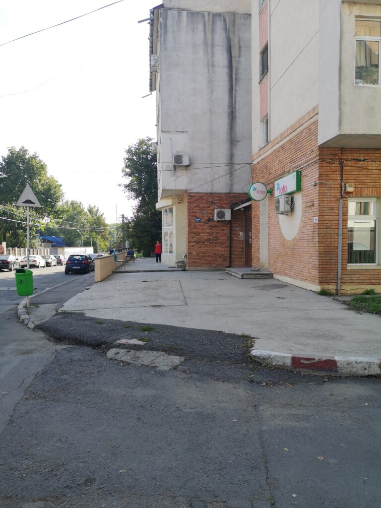
…Done! 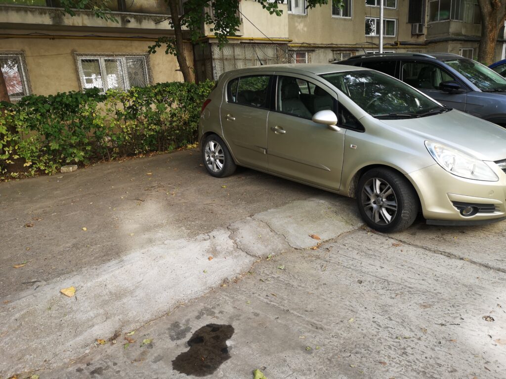
Here they have ramps for cars 
This is how they say “Look out for cars!” 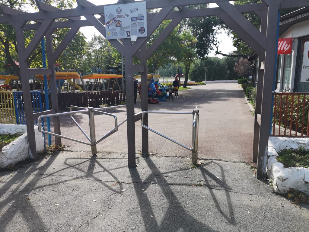
Metro feeling in the park… Do I need a ticket? 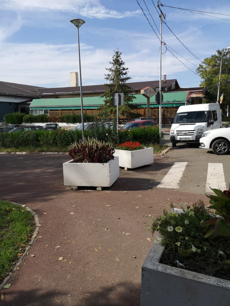
I understand the tactile markers about the crosswalk, but my shin still hurts
Research questions
How could GIS based platforms help solving some of the architectural – urbanistic problems of the danubian cities?
How could the citizens contribute to the improvement of their cities by using these GIS based platforms?
Would the integration of data collecting platforms within the social structure of the city become a necessity for it to become smart?
Results
{ }We observed the way in which certain neglected aspects of the infrastructure can influence the general accesibility of the citizens, so the city becomes an uncomfortable place particularly for the disabled.
We also noticed that the city has a real potential for development in relation to the Danube and many neglected spaces that can be arranged as public promenades for pedestrians. This recreational potential is also related to the Danube beaches, places little known, which can represent a leisure destination not only for the locals, but also for the people from other cities.
Description of methodology
What did you do?
Task I: Preparation of data acquisition
- participation to the online presentations
- installing OsmAnd
- inform about Geodata& GIS format
- troubleshouting
- informing about site
- creating the 2 group on topics
- creating the FB group
- dialog with teachers
Task II: Data acquisition:
- going on site- Călărași
- meeting with stakeholder – Călărași Museum
- making the route- as pedestrians, observing
- taking pictures, video, notes
Task III: Data preparation
- Cleaning data
- Sharing data
Task IV: Web-mapping
- linking the photos with pic2map.com
- checking the accuracy of photos and tracks
- importing the .gpx file with the tracks and markers on geojson platform
- adjustig the geometry of the track
Number of tracks recorded: 1
Number of markers recorded: 73
Number of media created: 73
Methodological reflection
Problems/difficulties encountered?
In the beginning we encountered some problems in understanding how to work with these geospatial data and tools, but they were quickly overcome, especially thanks to the collaboration between our teams and the project coordinators.
What was easy?
The easiest and the most pleasurable part was observing all the aspects of accesibilty in a critical manner while walking and experiencing the city ourselves.
Potentials and constraints in using the methodology
Potential – to use this method in other projects, cumulating various data and providing a real picture of the studied territory.
Constraints – related to the participants’ level of knowledge and speed of assimilating the procedures of data acquisition, cleaning, visualization and sharing.
What was good/bad suited to illustrate the observations
The positive aspects were that the visual tools were easy to use in the project results and we had the chance to learn how to use a new useful application of data acquisition, as well as managing the blog.
The less satisfying aspects were related to the fact that there were no other tools for collecting data about real “sensing the city” – at the level of involving all the other senses.
Which questions could be relevant for further research?
Is it possible, through the same GIS and geodata tools, to move from the level of acquisition and visualizing aspects, to the level of interpretation and modeling (2D and 3D)?
……………………………………………………………………………………………………………………
Ion Mincu University of Architecture and Urban Planning
The ”ACCESIBILITY” GROUP
Cristian Mormenschi and Patricia Stan
Faculty of Architecture
October, 2020
……………………………………………………………………………………………………………………